Near Kossuth in Auglaize County, Ohio — The American Midwest (Great Lakes)
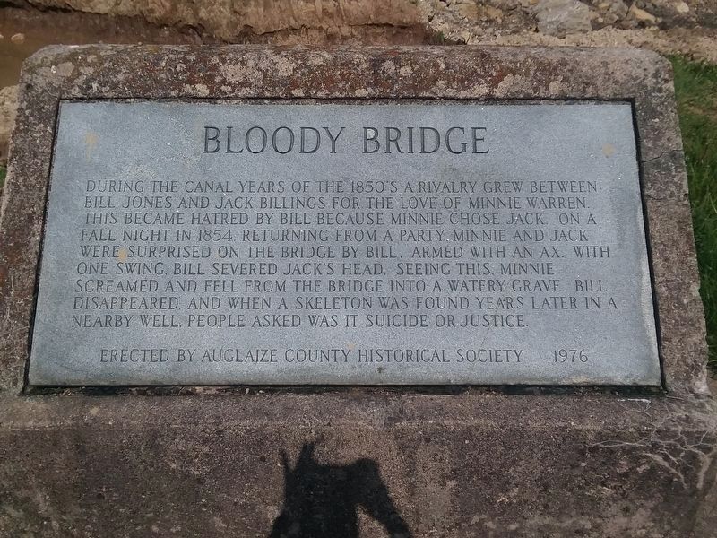
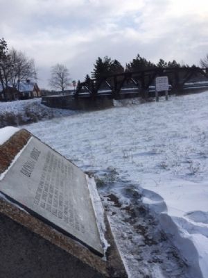
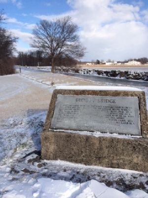
Bloody Bridge
Erected 1976 by Auglaize County Historical Society.
Topics and series. This historical marker is listed in these topic lists: Bridges & Viaducts • Settlements & Settlers • Waterways & Vessels. In addition, it is included in the The Miami & Erie Canal series list. A significant historical year for this entry is 1854.
Location. 40° 37.081′ N, 84° 21.162′ W. Marker is near Kossuth, Ohio, in Auglaize County. Marker is at the intersection of Ohio Route 66 and County Route 182, on the left when traveling south on State Route 66. Touch for map. Marker is in this post office area: Spencerville OH 45887, United States of America. Touch for directions.
Other nearby markers. At least 8 other markers are within 5 miles of this marker, measured as the crow flies. Six Mile Creek Aqueduct / The Miami & Erie Canal (approx. 0.6 miles away); Lock 14 on the Miami and Erie Canal (approx. 1˝ miles away); Broadwell Mill (approx. 2˝ miles away); Veterans Memorial (approx. 2.8 miles away); Noble Township Community Park (approx. 2.9 miles away); St. Patrick Catholic Church (approx. 3 miles away); 40 Acre Pond (approx. 3.1 miles away); Miami And Erie Canal Deep Cut (approx. 4.6 miles away).
Additional keywords. Bloody Bridge
Credits. This page was last revised on October 20, 2020. It was originally submitted on January 7, 2015, by Michael Baker of Lima, Ohio. This page has been viewed 1,059 times since then and 49 times this year. Photos: 1. submitted on October 19, 2020, by Craig Doda of Napoleon, Ohio. 2, 3, 4. submitted on January 7, 2015, by Michael Baker of Lima, Ohio. • Al Wolf was the editor who published this page.


