Cumblerland Gap in Claiborne County, Tennessee — The American South (East South Central)
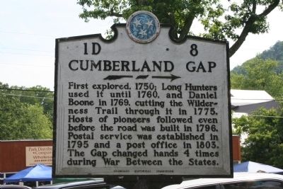
Cumberland Gap
Erected by Tennessee Historical Commission. (Marker Number 1D8.)
Topics and series. This historical marker is listed in these topic lists: Colonial Era • Exploration • Settlements & Settlers. In addition, it is included in the Tennessee Historical Commission series list. A significant historical year for this entry is 1750.
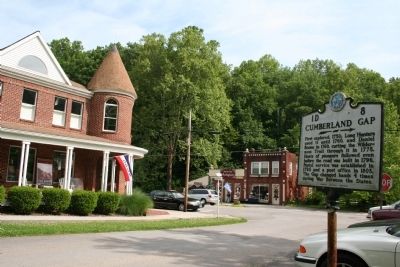
Location. 36° 35.944′ N, 83° 39.983′ W. Marker is in Cumblerland Gap, Tennessee, in Claiborne County. Marker is at the intersection of Merlyn Street and Colwyn Street, on the right when traveling south on Merlyn Street. Touch for map. Marker is in this post office area: Cumberland Gap TN 37724, United States of America. Touch for directions.
Other nearby markers. At least 8 other markers are within walking distance of this marker. Cumberland Gap Veterans Memorial (about 400 feet away, measured in a direct line); Boone Trail Highway Marker (about 500 feet away); Russell Berkau 1867 - 1936 (about 600 feet away); Harrow School (about 600 feet away); Three States Cornerstone (about 700 feet away); Iron Furnace (approx. 0.2 miles away in Virginia); On Guard in Cumberland Gap (approx. 0.2 miles away in Virginia); Gateway to Kaintuck (approx. 0.2 miles away in Virginia).
Credits. This page was last revised on March 27, 2017. It was originally submitted on January 11, 2015, by Tom Bosse of Jefferson City, Tennessee. This page has been viewed 830 times since then and 60 times this year. Photos: 1, 2. submitted on January 11, 2015, by Tom Bosse of Jefferson City, Tennessee. • Al Wolf was the editor who published this page.

