Waynesboro in Wayne County, Tennessee — The American South (East South Central)
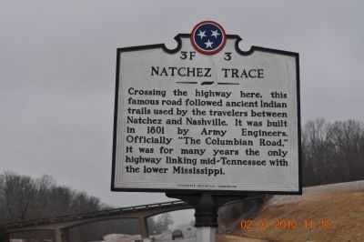
Natchez Trace
Crossing the Highway
Erected by Tennessee Historical Commission. (Marker Number 3F3.)
Topics and series. This historical marker is listed in this topic list: Roads & Vehicles. In addition, it is included in the Natchez Trace, and the Tennessee Historical Commission series lists. A significant historical year for this entry is 1801.
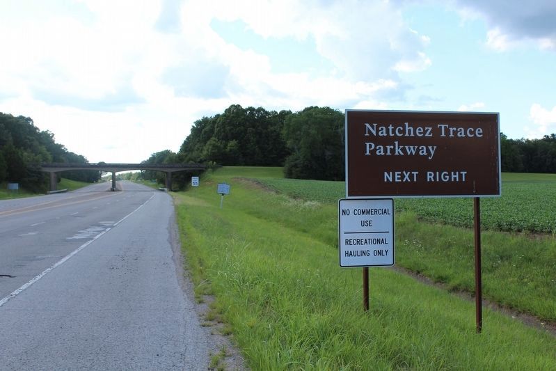
Location. 35° 19.218′ N, 87° 34.746′ W. Marker is in Waynesboro, Tennessee, in Wayne County. Marker is on Lawrenceburg Highway close to Gower Road. Touch for map. Marker is in this post office area: Lawrenceburg TN 38464, United States of America. Touch for directions.
Other nearby markers. At least 8 other markers are within 11 miles of this marker, measured as the crow flies. Dogwood Mudhole (approx. 2.6 miles away); Forty Eight Forge (approx. 4.9 miles away); The Old Natchez Trace (approx. 5.4 miles away); This Monument Marks The Old Natchez Trace (approx. 5.4 miles away); Wayne Furnace (approx. 5.8 miles away); Army of Tennessee (approx. 6 miles away); Sweetwater Branch (approx. 6.4 miles away); Waynesboro Operation Enduring Freedom & Operation Iraqi Freedom Monument (approx. 10.3 miles away). Touch for a list and map of all markers in Waynesboro.
Also see . . . Natchez Trace - National Park Service. (Submitted on March 4, 2010, by Bill Pfingsten of Bel Air, Maryland.)
Credits. This page was last revised on August 17, 2020. It was originally submitted on March 4, 2010, by Sandra Hughes Tidwell of Killen, Alabama, USA. This page has been viewed 995 times since then and 42 times this year. Last updated on January 16, 2015, by J. Makali Bruton of Accra, Ghana. Photos: 1. submitted on March 4, 2010, by Sandra Hughes Tidwell of Killen, Alabama, USA. 2. submitted on August 17, 2020, by Tom Bosse of Jefferson City, Tennessee. • Bill Pfingsten was the editor who published this page.

