Lander in Fremont County, Wyoming — The American West (Mountains)
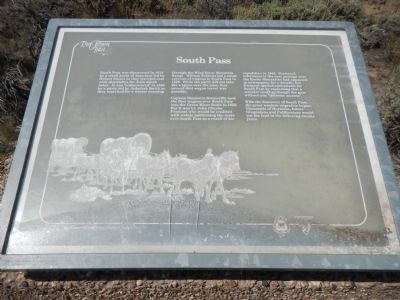
South Pass
Captain Benjamin Bonneville took the first wagons over South Pass into the Green River Basin in 1832. But it was Lt. John Charles Fremont who would be credited with widely publicizing the route over South Pass as a result of his expedition in 1842. Scattered references to the easy passage over the Rocky Mountains had appeared in newspapers for a decade, but Fremont ignited enthusiasm for South Pass by explaining that a traveler could go through the pass without any “toilsome ascents”.
With the discovery of South Pass, the great western migration began. Thousands of Mormons, future Oregonians and Californians would use the trail in the following twenty years.
Erected by Bureau of Land Management.
Topics and series. This historical marker is listed in these topic lists: Roads & Vehicles • Settlements & Settlers. In addition, it is included in the Mormon Pioneer Trail, the Oregon Trail, and the Pony Express National Historic Trail series lists. A significant historical year for this entry is 1812.
Location. 42° 20.595′ N, 108° 53.135′ W. Marker is in Lander, Wyoming, in Fremont County. Marker is on Emigrant Trail near Oregon Buttes Road. Touch for map. Marker is in this post office area: Lander WY 82520, United States of America. Touch for directions.
Other nearby markers. At least 8 other markers are within 5 miles of this marker, measured as the crow flies. Old Oregon Trail (about 300 feet away, measured in a direct line); Narcissa Prentiss Whitman (about 400 feet away); Oregon Buttes (approx. ¾ mile away); a different marker also named South Pass (approx. 2.8 miles away); Meadows in the Sage (approx. 2.8 miles away); Pacific Springs (approx. 3.2 miles away); a different marker also named South Pass (approx. 4½ miles away); a different marker also named South Pass (approx. 4½ miles away). Touch for a list and map of all markers in Lander.
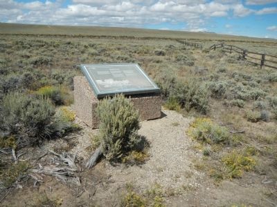
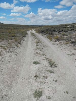
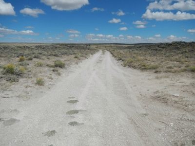
More about this marker. This marker is located at the South Pass summit on the Oregon/California/Mormon/Pony Express Trail.
Also see . . . South Pass (Wyoming) - Wikipedia. South Pass (elevation 7,412 feet (2,259 m) and 7,550 feet (2,300 m)) is the collective term for two mountain passes on the Continental Divide in the Rocky Mountains in southwestern Wyoming. The passes are located in a broad low region, 35 miles (56 km) wide, between the Wind River Range to the north and the Oregon Buttes and Great Divide Basin to the south, in southwestern Fremont County, approximately 35 miles (56 km) SSW of Lander. (Submitted on January 27, 2015, by Barry Swackhamer of Brentwood, California.)
Credits. This page was last revised on June 16, 2016. It was originally submitted on January 27, 2015, by Barry Swackhamer of Brentwood, California. This page has been viewed 868 times since then and 31 times this year. Photos: 1, 2, 3, 4. submitted on January 27, 2015, by Barry Swackhamer of Brentwood, California. • Andrew Ruppenstein was the editor who published this page.


