Pointe-à-la-Croix in Avignon, Québec — Central Canada (French-Canadian)
The Battle of the Restigouche
La Bataille de la Ristigouche
English:
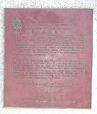
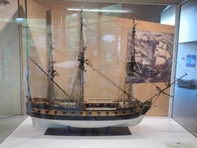
In May 1760 a French relief fleet, unable to reach Quebec, took refuge at the head of Chaleur Bay. It was there that a British squadron blockaded them on June 22. Aided by Acadians and Micmacs, the French planted batteries on the shores and blocked the channel, hoping thus to keep the enemy from their ships anchored in the estuary of the Restigouche. The British were able to get by these obstacles and, on July 8, the French vessels were scuttled after about seven hours of fighting.
French:
En mai 1760, une flottille de secours française, renonçant à rallier Québec, se retira à la tête de la Baie des Chaleurs. Une escadre britannique les bloqua à compter du 22 juin. Appuyés d'Acadiens et de Micmacs, les Français installèrent des batteries sur les rives et obstruèrent le chenal. Ils voulaient ainsi empêcher l'adversaire de s'approcher de leurs navires, ancrés en retrait dans l'estuaire de la Ristigouche. Les Britanniques eurent raison des obstacles et, le 8 juillet 1760, les bâtiments français se sabordèrent après quelque sept heures de combat.
Erected by Historic Sites and Monument Board of Canada/Commission de lieux et monuments historique du Canada.
Topics and series. This historical marker is listed in this topic list: War, French and Indian . In addition, it is included in the Canada, Historic Sites and Monuments Board series list. A significant historical month for this entry is May 1760.
Location. 48° 0.81′ N, 66° 44.122′ W. Marker is in Pointe-à-la-Croix, Québec, in Avignon. Marker can be reached from Boulevard Perron Ouest (Québec Route 132), on the left when traveling west. Touch for map. Marker is at or near this postal address: 40 Boulevard Perron Ouest, Pointe-à-la-Croix QC G0C 1L0, Canada. Touch for directions.
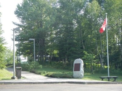
More about this marker. The marker is located at Battle of the Restigouche National Historic Site.
Also see . . . Battle of Restigouche at Wikipedia. (Submitted on August 10, 2020, by Larry Gertner of New York, New York.)
Credits. This page was last revised on January 23, 2022. It was originally submitted on February 1, 2015, by Barry Swackhamer of Brentwood, California. This page has been viewed 426 times since then and 18 times this year. Photos: 1, 2, 3, 4. submitted on February 1, 2015, by Barry Swackhamer of Brentwood, California. • Andrew Ruppenstein was the editor who published this page.


