Thibodaux in Lafourche Parish, Louisiana — The American South (West South Central)
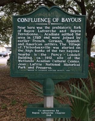
Confluence Of Bayous
Erected 1992 by the Lafourche Historical Society, and the Bayou Lafourche Chapter of the DAR.
Topics and series. This historical marker is listed in these topic lists: Settlements & Settlers • Waterways & Vessels. In addition, it is included in the Daughters of the American Revolution series list. A significant historical year for this entry is 1785.
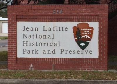
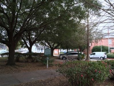
Location. 29° 47.774′ N, 90° 49.471′ W. Marker is in Thibodaux, Louisiana, in Lafourche Parish. Marker can be reached from the intersection of St. Mary Street and West 1st Street. Located within the median of the Jean Lafitte National Historical Park and Preserve building parking lot. Touch for map. Marker is at or near this postal address: 314 St Mary Street, Thibodaux LA 70301, United States of America. Touch for directions.
Other nearby markers. At least 8 other markers are within walking distance of this marker. George Seth Guion (approx. 0.2 miles away); John A. Lovell (approx. 0.2 miles away); Mary King Fulford (approx. 0.2 miles away); Fayette Clay Ewing (approx. 0.2 miles away); Silas T. Grisamore (approx. 0.2 miles away); Rev. Daniel McNair (approx. 0.2 miles away); James Frost (approx. 0.2 miles away); Richard Henry Allen (approx. 0.2 miles away). Touch for a list and map of all markers in Thibodaux.
Credits. This page was last revised on January 13, 2018. It was originally submitted on February 25, 2015, by Mark Hilton of Montgomery, Alabama. This page has been viewed 524 times since then and 15 times this year. Photos: 1, 2, 3, 4. submitted on February 25, 2015, by Mark Hilton of Montgomery, Alabama.


