Nashville in Davidson County, Tennessee — The American South (East South Central)
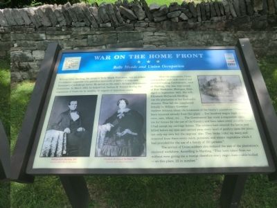
War on the Home Front
Belle Meade and Union Occupation
After the evacuation, Union commanders soon took control and arrested leading Confederates, such as Harding, who was imprisoned at Fort Mackinaw, Michigan, from April to September 1862. His wife, Elizabeth McGavock Harding, ran the plantation in her husband’s absence. That fall she complained bitterly to Military Governor Andrew Johnson about the treatment of the family’s plantation: “There has been removed already from this place … five hundred wagon loads of hay, corn, oats, wheat, etc. … The Government has made a requisition upon me for horses for the use of the Cavalry and have taken every suitable horse I had except my carriage horses. The soldiers have entered the lawns and killed before my eyes and carried away every head of poultry upon the place, not only my own but the negroes’ also. They broke (into) my dairy and removed from there every onion, potatoes, and winter vegetables which I had provided for the use of a family of 150 persons.”
The arrival of Union soldiers also reduced the size of the plantation’s enslaved workforce. According to Harding, “They have taken from me without even giving me a receipt therefore every negro man—able-bodied—on this place, 22 in number.”
(captions)
William Giles Harding, 1856 Courtesy Belle Meade Plantation
Elizabeth McGavock Harding, 1857 Courtesy Belle Meade Plantation
Foraging for hay - Courtesy Library of Congress
Erected by Tennessee Civil War Trails.
Topics and series. This historical marker is listed in this topic list: War, US Civil. In addition, it is included in the Former U.S. Presidents: #17 Andrew Johnson, and the Tennessee Civil War Trails series lists. A significant historical month for this entry is March 1862.
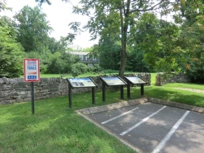
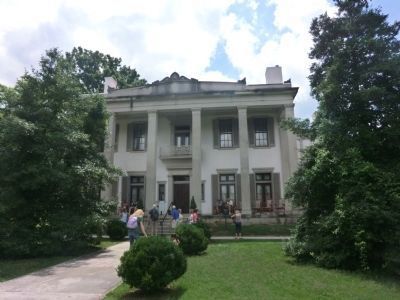
Location. 36° 6.4′ N, 86° 51.864′ W. Marker is in Nashville, Tennessee, in Davidson County. Marker can be reached from Harding Pike (U.S. 70S) 0.2 miles north of Leake Avenue, on the right when traveling north. Located in the parking lot of Belle Meade Plantation. Touch for map. Marker is at or near this postal address: 5025 Harding Pike, Nashville TN 37205, United States of America. Touch for directions.
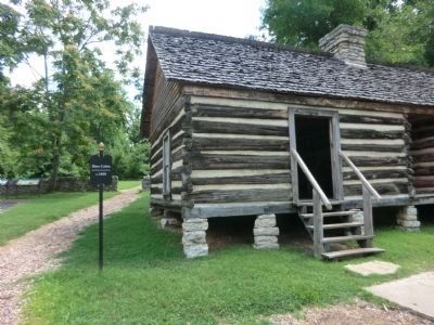
Other nearby markers. At least 8 other markers are within walking distance of this marker. Belle Meade Plantation (here, next to this marker); a different marker also named Belle Meade Plantation (here, next to this marker); Dairy (within shouting distance of this marker); Slave Cabin (within shouting distance of this marker); Belle Meade Bourbon (within shouting distance of this marker); Ice House (within shouting distance of this marker); Slave Burials (within shouting distance of this marker); Mausoleum (about 300 feet away, measured in a direct line). Touch for a list and map of all markers in Nashville.
Also see . . . Belle Meade Plantation. (Submitted on October 3, 2013.)
Credits. This page was last revised on June 16, 2016. It was originally submitted on October 3, 2013, by Don Morfe of Baltimore, Maryland. This page has been viewed 788 times since then and 22 times this year. Last updated on March 14, 2015, by J. Makali Bruton of Accra, Ghana. Photos: 1, 2, 3, 4. submitted on October 3, 2013, by Don Morfe of Baltimore, Maryland. • Bill Pfingsten was the editor who published this page.


