St. Joe Beach in Gulf County, Florida — The American South (South Atlantic)
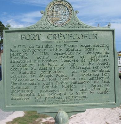
Fort Crèvecoeur
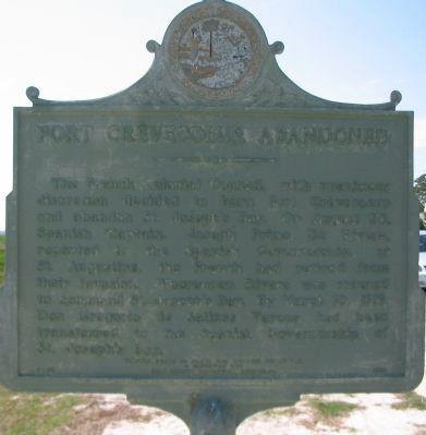
Fort Crèvecoeur Abandoned
(Rear): The French Colonial Council, with unanimous decision decided to burn Fort Crèvecoeur and abandon St. Joseph's Bay. On August 20, Spanish Captain, Joseph Primo De Rivera, reported to the Spanish Governorship, at St. Augustine, the French had retired from their invasion. Whereupon Rivera was ordered to command St. Joseph's Bay. By March 10, 1719, Don Gregorio de Salinas Varona had been transferred to the Spanish Governorship of St. Joseph's Bay.
Erected 1964 by Florida Board of Historic of Parks and Historic Memorials in Cooperation with the Gulf County Historical Commission. (Marker Number F-115.)
Topics. This historical marker is listed in this topic list: Colonial Era. A significant historical month for this entry is February 1865.
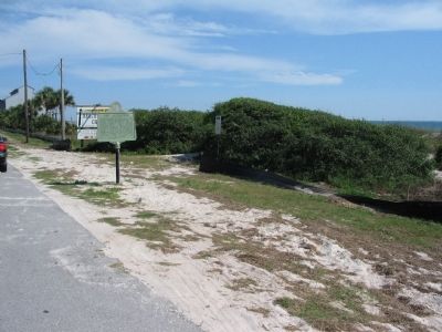
Location. 29° 54.786′ N, 85° 22.572′ W. Marker is in St. Joe Beach, Florida, in Gulf County. Marker is at the intersection of Columbus Street (U.S. 98) and Beacon Road, on the right when traveling east on Columbus Street. Touch for map. Marker is in this post office area: Mexico Beach FL 32410, United States of America. Touch for directions.
Other nearby markers. At least 8 other markers are within 18 miles of this marker, measured as the crow flies. Vamar (approx. 4.2 miles away); Shipyard Cove (approx. 8.3 miles away); St. Joseph Catholic Mission Church (approx. 8½ miles away); The Florida Constitution (approx. 9.6 miles away); Old St. Joseph Cemetery (approx. 9.8 miles away); St. Joseph Cemetery Burial Register (approx. 9.8 miles away); Saint Joseph Cemetery (approx. 9.9 miles away); Wewahitchka Centennial (approx. 17.6 miles away).

Photographed By Craig Swain, May 29, 2008
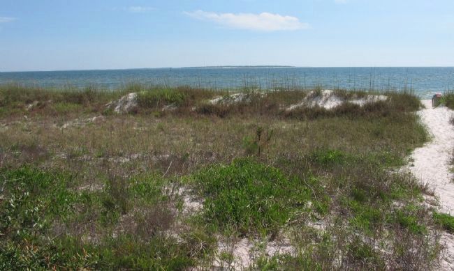
4. St. Joseph Bay
Looking from the marker location across the bay, in the distance is St. Joseph Point off St. Joseph Peninsula. The exact site of the fort is not detailed by the marker or other references, but stood generally on the mainland shore opposite the point, generally in the marker's location.
Credits. This page was last revised on August 5, 2017. It was originally submitted on June 6, 2008, by Craig Swain of Leesburg, Virginia. This page has been viewed 2,844 times since then and 57 times this year. Photos: 1, 2, 3, 4. submitted on June 6, 2008, by Craig Swain of Leesburg, Virginia.


