Madison Manor in Arlington in Arlington County, Virginia — The American South (Mid-Atlantic)
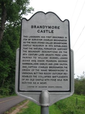
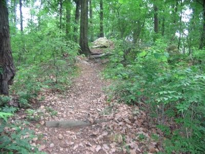
Brandymore Castle
Erected by Arlington County, Virginia.
Topics. This historical marker is listed in these topic lists: Natural Features • Settlements & Settlers. A significant historical year for this entry is 1724.
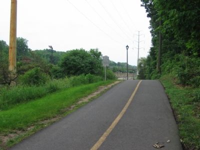
Location. 38° 53.052′ N, 77° 9.154′ W. Marker is in Arlington, Virginia, in Arlington County. It is in Madison Manor. Marker can be reached from Custis Memorial Highway (Interstate 66), on the right when traveling east. The marker is best reached from the parking lot for East Falls Church Park, off North Roosevelt Street. The marker is along the Washington & Old Dominion Railroad Trail Park, which runs next to the interstate at this point. Touch for map. Marker is in this post office area: Arlington VA 22205, United States of America. Touch for directions.
Other nearby markers. At least 8 other markers are within walking distance of this marker. Benjamin Banneker Park Playground (approx. ¼ mile away); Original Federal Boundary Stone, District of Columbia, Southwest 9 (approx. 0.4 miles away); East Falls Church (approx. half a mile away); Granite Acroterion (approx. 0.6 miles away); East Falls Church Station (approx. 0.6 miles away); Fairfax Chapel (approx. 0.6 miles away); Presidential Visit to Falls Church, 1911 (approx. 0.7 miles away); Pearson's Funeral Home (approx. 0.7 miles away). Touch for a list and map of all markers in Arlington.
Credits. This page was last revised on February 1, 2023. It was originally submitted on June 6, 2008, by Craig Swain of Leesburg, Virginia. This page has been viewed 3,921 times since then and 58 times this year. Photos: 1, 2, 3. submitted on June 6, 2008, by Craig Swain of Leesburg, Virginia.


