Ashland in Hanover County, Virginia — The American South (Mid-Atlantic)
Ashland
The War Years
— Lee vs. Grant — The 1864 Campaign —
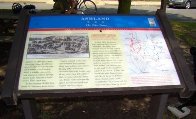
In the summer of 1861, hundreds of volunteers from across Virginia camped at the racecourse where they received their first military instruction During 1862, homes and churches filled with battle casualties; more than 400 soldiers died in these makeshift hospitals. Union raiders frequently ripped up railroad track and burned nearby bridges.
In May 1863, the funeral train carrying Gen. Thomas J. “Stonewall” Jackson’s body stopped here on its way to Richmond. A year later, part of Lee’s weary army marched southward along these tracks. One veteran recalled that they “marched in such deep silence that a man with his eyes shut would only have known that anyone was on the road by the occasional rattle of a canteen.” Places like the Wilderness, Spotsylvania, and North Anna lay behind them. Totopotomoy Creek, Cold Harbor, Petersburg and ten more months of war lay ahead.
Erected by Civil War Trails.
Topics and series. This historical marker is listed in these topic lists: Railroads & Streetcars • War, US Civil. In addition, it is included in the Virginia Civil War Trails series list. A significant historical month for this entry is May 1863.
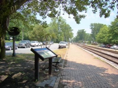
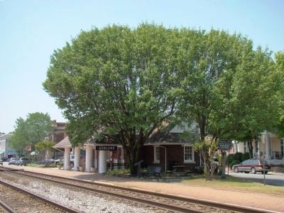
Location. 37° 45.585′ N, 77° 28.868′ W. Marker is in Ashland, Virginia, in Hanover County. Marker is on North Center Street north of England Street (Virginia Route 54), on the right when traveling south. It is at the Ashland Amtrak Station / Visitor’s Center. Touch for map. Marker is in this post office area: Ashland VA 23005, United States of America. Touch for directions.
Other nearby markers. At least 8 other markers are within walking distance of this marker. Railroad Company Sees Potential For A Town Among The Slash Pines (within shouting distance of this marker); Randolph-Macon College (about 300 feet away, measured in a direct line); The Blanton House (about 500 feet away); Downtown Business Growth Fuels Ashland Expansion (about 600 feet away); Blackwell House (approx. ¼ mile away); Town Of Ashland Historic District (approx. ¼ mile away); Rev. Alexander G. Brown D.D. (approx. 0.3 miles away); a different marker also named Ashland (approx. half a mile away). Touch for a list and map of all markers in Ashland.
More about this marker. On the upper left is “a prewar view la the mineral springs resort at Ashland, which includes a hotel, ballroom and

Photographed By J. J. Prats, June 4, 2008
2. Detail of Marker
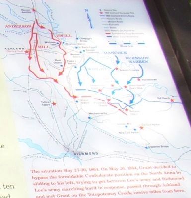
“The situation May 27-30, 1864. On May 26, 1864, Grant decided bypass the formidable Confederate position on the North Anna by sliding to his left, trying to get between Lee’s army and Richmond. Lee’s army marching hard in response, passed through Ashland and met Grant on the Totopotomoy Creek, twelve miles from here.”
Additional keywords. Richmond, Fredericksburg and Potomac Railroad (RF&P)
Credits. This page was last revised on June 16, 2016. It was originally submitted on June 7, 2008, by J. J. Prats of Powell, Ohio. This page has been viewed 1,563 times since then and 66 times this year. Photos: 1, 2, 3, 4. submitted on June 7, 2008, by J. J. Prats of Powell, Ohio.


