Appleton in Lawrence County, Tennessee — The American South (East South Central)
Sugar Creek Engagement
Protecting the Army of Tennessee
— Hood's Campaign —
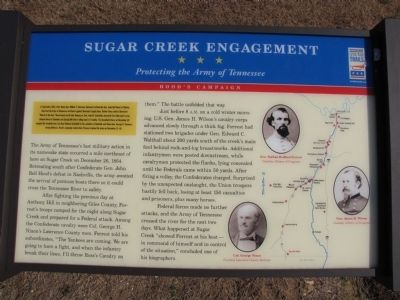
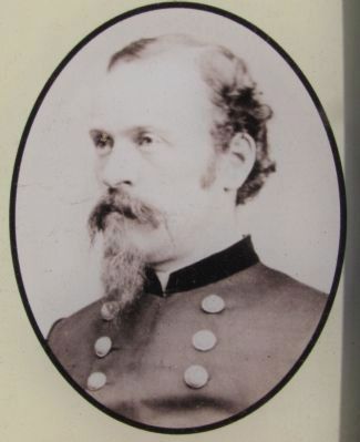
In September 1864, after Union Gen. William T. Sherman defeated Confederate Gen. John Bell Hood at Atlanta, Hood led the Army of Tennessee northwest against Sherman's supply lines. Rather than contest Sherman's "March to the Sea," Hood moved north into Tennessee. Gen. John M. Schofield, detached from Sherman's army, delayed Hood at Columbia and Spring Hill before falling back to Franklin. The bloodbath there on November 30 crippled the Confederates, but they followed Schofield to the outskirts of Nashville and Union Gen. George H. Thomas's strong defenses. Hood's campaign ended when Thomas crushed his army on December 15-16.
The Army of Tennessee's last military action in its namesake state occurred a mile northeast of here on Sugar Creek on December 26, 1864. Retreating south after Confederate Gen. John Bell Hood's defeat in Nashville, the army waited the arrival of pontoon boats there so it could cross the Tennessee River to safety.
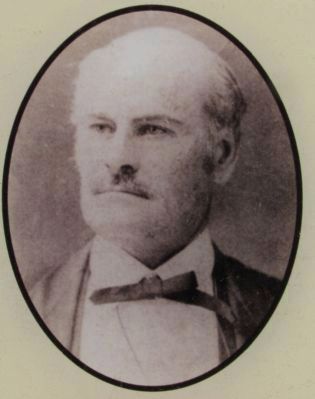
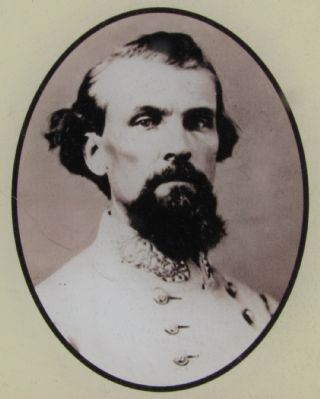
After fighting the previous day at Anthony Hill in neighboring Giles County, Forrest's troops camped for the night along Sugar Creek and prepared for a Federal attack. Among the Confederate cavalry were Col. George H. Nixon's Lawrence County men. Forrest told his subordinates, "The Yankees are coming. We are going to have a fight, and when the infantry break their lines, I'll throw Ross's Cavalry on them." The battle unfolded that way.
Just before 8 A.M. on a cold winter morning, U.S. Gen. James H. Wilson's cavalry corps advanced slowly through a thick fog. Forrest had stationed two brigades under Gen. Edward C. Walthall about 200 yards south of the creek's main ford behind rock-and-log breastworks. Additional infantrymen were posted downstream, while cavalrymen protected the flanks, lying concealed until the Federals came within 50 yards. After firing a volley, the Confederates charged. Surprised by the unexpected onslaught, the Union troopers hastily fell back, losing at least 150 casualties and prisoners, plus many horses.
Federal forces made no further attacks, and the Army of Tennessee crossed the river for the next two days. What happened at Sugar Creek "showed Forrest at his best - in command of himself and in control of the situation," concluded one of his biographers.
Erected by Tennessee Civil War Trails.
Topics and series. This historical marker is listed in this topic list: War, US Civil. In addition, it is included in the Tennessee Civil War Trails series list. A significant historical month for this entry is September 1864.
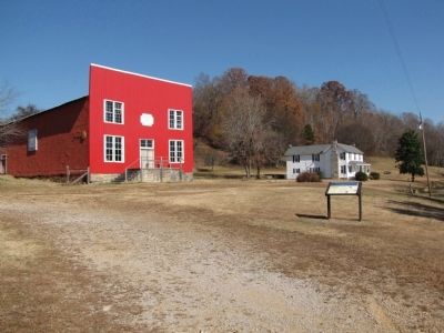
Location. 35° 1.428′ N, 87° 14.017′ W. Marker is in Appleton, Tennessee, in Lawrence County. Marker is at the intersection of Appleton Road and Blooming Grove Road, on the left when traveling east on Appleton Road. Marker is located at The Big Red Store, a Lawrence County historical site. Touch for map. Marker is at or near this postal address: 440 Appleton Road, Five Points TN 38457, United States of America. Touch for directions.
Other nearby markers. At least 8 other markers are within 9 miles of this marker, measured as the crow flies. Sam Davis Capture Site (approx. 3.6 miles away); Sam Davis (approx. 3.6 miles away); Minor Hill War Memorial (approx. 4 miles away); Grassy Memorial Chapel and Cemetery (approx. 5.2 miles away in Alabama); Town of Anderson (approx. 7.3 miles away in Alabama); Hugh Pate Harris (approx. 7.3 miles away in Alabama); Sim Corder/Harrison Mill (approx. 8.4 miles away in Alabama); Andrew Lee Phillips (approx. 8.7 miles away in Alabama).
Credits. This page was last revised on June 16, 2016. It was originally submitted on November 13, 2010, by Lee Hattabaugh of Capshaw, Alabama. This page has been viewed 3,323 times since then and 114 times this year. Last updated on April 7, 2015, by J. Makali Bruton of Accra, Ghana. Photos: 1, 2, 3, 4, 5. submitted on November 13, 2010, by Lee Hattabaugh of Capshaw, Alabama. • Bill Pfingsten was the editor who published this page.
