Stafford in Stafford County, Virginia — The American South (Mid-Atlantic)
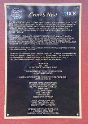
Crow's Nest
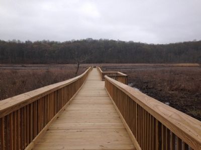
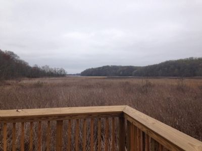
Crow's Nest Natural Area Preserve provides nesting, roosting, and migratory habitat for a large number of neotropical migratory land birds, raptors, waterfowl, and wading birds, contains habitat for a variety of rare species of plants and animals, and supports outstanding examples of a variety of unusual natural resources.
Crow's Nest also has a long and rich history, and was occupied by Union troops during the Civil War.
The beauty and significance of Crow's Nest will forever be preserved as a Virginia Natural Area Preserve. As such, the people of Stafford County, the Commonwealth and beyond will be able to enjoy it largely untouched from what it has been for hundreds of years.
Erected 2014 by Stafford County and the Virginia Department of Conservation and Recreation.
Topics. This historical marker is listed in these topic lists: Settlements & Settlers • War, US Civil.
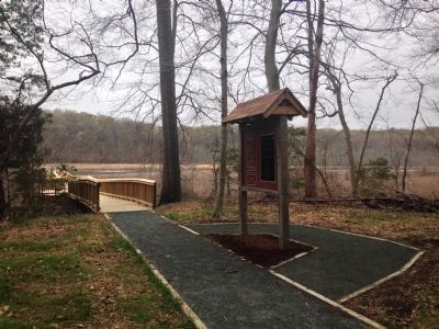
Location. 38° 22.225′ N, 77° 19.926′ W. Marker is in Stafford, Virginia, in Stafford County. Marker can be reached from Brooke Road (County Road 608) west of Camp Geary Lane, on the right when traveling east. Located at the Crow’s Nest Natural Area Preserve, near the pier. Touch for map. Marker is in this post office area: Stafford VA 22554, United States of America. Touch for directions.
Other nearby markers. At least 8 other markers are within one mile of this marker, measured as the crow flies. Crow's Nest Natural Area Preserve / Virginia’s State Natural Area Preserves (within shouting distance of this marker); John Smith Explores the Chesapeake (within shouting distance of this marker); Union Redoubt No. 3 (approx. 0.4 miles away); Union Redoubt # 3 (approx. half a mile away); Mason's Homestead (approx. one mile away); Aquia Landing (approx. one mile away); a different marker also named Aquia Landing (approx. one mile away); Battle of Aquia Landing (approx. one mile away). Touch for a list and map of all markers in Stafford.
Credits. This page was last revised on June 16, 2016. It was originally submitted on April 9, 2015, by Kevin W. of Stafford, Virginia. This page has been viewed 573 times since then and 16 times this year. Photos: 1, 2, 3, 4. submitted on April 9, 2015, by Kevin W. of Stafford, Virginia.


