Clay in Onondaga County, New York — The American Northeast (Mid-Atlantic)
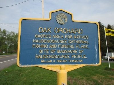
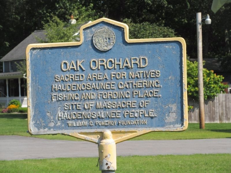
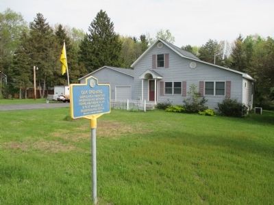
Oak Orchard
Sacred area for natives
Haudenosaunee gathering,
fishing and fording place.
Site of massacre of
Haudenosaunee people.
Erected 2009 by William G. Pomeroy Foundation.
Topics and series. This historical marker is listed in this topic list: Native Americans. In addition, it is included in the William G. Pomeroy Foundation series list.
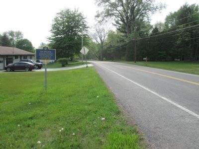
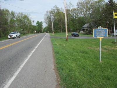
Location. 43° 12.488′ N, 76° 12.311′ W. Marker is in Clay, New York, in Onondaga County. Marker is on Oak Orchard Road, 0.2 miles west of Henry Clay Boulevard, on the left when traveling west. Touch for map. Marker is at or near this postal address: 4412 Oak Orchard Road, Clay NY 13041, United States of America. Touch for directions.
Other nearby markers. At least 8 other markers are within 4 miles of this marker, measured as the crow flies. Pine Plains (approx. 1.3 miles away); Cigarville Station (approx. 2.2 miles away); Nathan Teall (approx. 3.4 miles away); Early School (approx. 3.7 miles away); Techiroguen (approx. 3.9 miles away); Near This Spot (approx. 4 miles away); Oliver Stevens (approx. 4 miles away); a different marker also named Oliver Stevens (approx. 4 miles away). Touch for a list and map of all markers in Clay.
Regarding Oak Orchard. "At Oak Orchard Reefs, near the bank of the Oneida River, are evidences of an extensive Indian burying ground. These reefs were a common fording place for the Indians and formerly were much resorted to by them for fishing. During the Revolution or the French War, there was a massacre of the Indians at this place. We are informed by a resident of the town, that in 1843 he had a conversation with an aged Indian who used to visit this burial-place of his ancestors and sit long there in musing silence, and that this Indian related to him the tradition of the massacre of a large number of his tribe. The same gentleman has seen scores of Indian skulls exhumed, many of which were pierced with bullet-holes and marked with sabre-cuts. The Indian graves here have been desecrated and multitudes of relics found and removed."
FROM: History of Onondaga County, New York With Illustrations and Biographical Sketches. By: Professor W. W. Clayton Published By D. Mason & Co., Syracuse NY 1878.
Credits. This page was last revised on August 31, 2023. It was originally submitted on May 31, 2015, by Anton Schwarzmueller of Wilson, New York. This page has been viewed 1,122 times since then and 92 times this year. Photos: 1. submitted on May 31, 2015, by Anton Schwarzmueller of Wilson, New York. 2. submitted on August 22, 2023, by Mira Earls of Cortland, New York. 3, 4, 5. submitted on May 31, 2015, by Anton Schwarzmueller of Wilson, New York.
