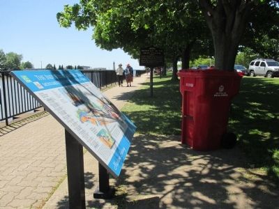
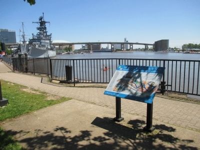
Waterfront in Buffalo in Erie County, New York — The American Northeast (Mid-Atlantic)
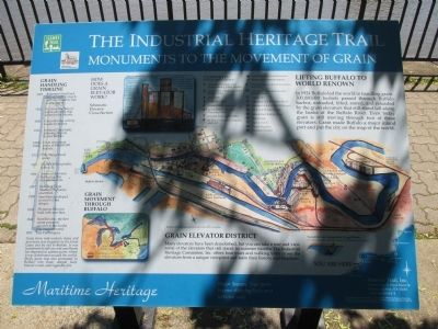
The Industrial Heritage Trail
Monuments to the Movement of Grain
— Maritime Heritage —
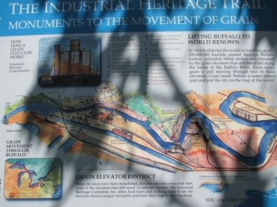
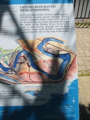
Lifting Buffalo to World Renown. In 1924 Buffalo led the world in handling grain. 300,000,000 bushels passed throught Buffalo harbor, unloaded, lifted, stored, and reloaded by the grain elevators that still stand tall along the banks of the Buffalo River. Grain made Buffalo a major inland port and put the city on the map of the world.
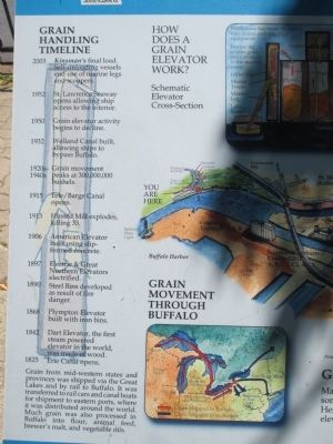
Grain Handling Timeline
2003 Kinsman's final load. Self-unloading vessels end use of marine legs and scoopers.
1952 St. Lawrence Seaway opens allowing ship access to the interior.
1950 Grain elevator acivity begins to decline.
1932 Welland Canal built, allowing ships to bypass Buffalo.
1920s-1940s Grain movement peaks at 300,000,000 bushels.
Erie/Barge Canal opens.
Husted Mill explodes, killing 33.
1906 American Elevator built using slip-formed concrete.
1897 Electric & Great Northern Elevators electrified.
1890 Steel bins developed as a result of fire danger.
1868 Plympton Elevator built with iron bins.
1842 Dart Elevator, the first steam powered elevator in the world, was made of wood.
1825 Erie Canal opens.
Grain from mid-western states and provinces was shipped via the Great Lakes and by rail to Buffalo. It was transferred to rail cars and canal boats for shipment to easter ports, where it was distributed around the world. Much grain was also processed in Buffalo into flour, animal feed, brewer's malt, and vegetable oils.
How does a grain elevator work? Schematic elevator cross-section.
Grain Movement Through Buffalo.
Grain Elevator District. Many elevators have been demolished, but you can take a tour and view som eof the elevators that still stand. In summer months The Industrial Heritage Committee, Inc. offers boat tours and walking tours to see the elevators from a unique viewpoint and learn their history and functions.
Major Seaway Trail ports became shipping hubs on a national scale
Seaway Trail, Inc. Corner Ray & West Main St., Sackets Harbor, NY 13685, 1-800-SAEWAY-T. This exhibit made possible by a grant from FHWA to Seaway Trail, Inc. Thanks tp the Industrial Heritage Committee, Inc. for assistance with the historical information presented here.
Erected by Seaway Trail, Inc.
Topics and series. This historical marker is listed in these topic lists: Industry & Commerce • Waterways & Vessels. In addition, it is included in the Erie Canal, and the Great Lakes Seaway Trail National Scenic Byway series lists. A significant historical year for this entry is 1842.
Location. 42° 52.709′ N, 78° 52.965′ W. Marker is in Buffalo, New York, in Erie County. It is in Waterfront. Marker can be reached from Erie Street, 0.1 miles west of Marine Drive. Marker is along the Buffalo River. Touch for map. Marker is in this post office area: Buffalo NY 14202, United States of America. Touch for directions.
Other nearby markers. At least 8 other markers are within walking distance of this marker. Western New York Vietnam Veterans Monument (within shouting distance of this marker); This Purple Heart Memorial (within shouting distance of this marker); This Memorial is Dedicated to All of the Service Members from WNY (about 300 feet away, measured in a direct line); Dedicated to the Memory of the Brave Men (about 400 feet away); Poland’s Contribution in the Second World War, 1939 - 1945 (about 400 feet away); USS Grenadier (SS210) (about 400 feet away); U.S. Submarine Veterans World War II (about 400 feet away); Buffalo’s Irish Regiment (about 500 feet away). Touch for a list and map of all markers in Buffalo.
Also see . . . Buffalo Industrial Heritage. (Submitted on June 25, 2015, by Anton Schwarzmueller of Wilson, New York.)
Credits. This page was last revised on May 25, 2023. It was originally submitted on June 25, 2015, by Anton Schwarzmueller of Wilson, New York. This page has been viewed 448 times since then and 26 times this year. Photos: 1, 2, 3, 4, 5, 6. submitted on June 25, 2015, by Anton Schwarzmueller of Wilson, New York.
