Lanesborough in Berkshire County, Massachusetts — The American Northeast (New England)
Adams Overlook: A Town Tied to the Mountain
Mount Greylock State Reservation
Adams Overlook: A Town Tied to the Mountain
Mount Greylock State Reservation
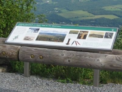
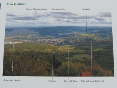
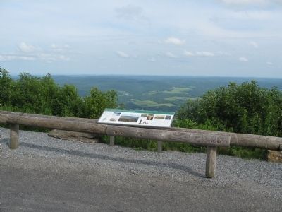
Adams Overlook faces east, looking over the town of Adams to the Hoosac Range, a branch of the Berkshire Mountains. Named after Revolutionary War hero John Adams, the town long depended on Greylock’s streams, which powered its textile and lumber mills. Equally important to Adams was Greylock’s timber, cut to make charcoal, another power source. Today, with the mills closed, the town again relies on the mountain – a scenic landmark and recreational source.
Limestone and Farmland
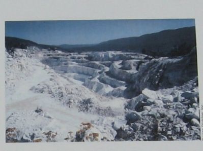
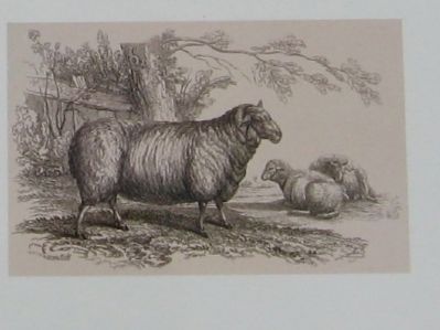
Durable schist bedrock comprises the backbone of the mountain. Around it is softer marble and limestone, which eroded away, creating the valleys and foothills we see today. Nearly pure marble from the Adams quarry (above) is used in food, nutritional supplements, pharmaceutical and personal care products. The eroded marble also enriches the soil, creating farmland that since colonial times has supported livestock such as these Merino sheep (below).
View to Adams
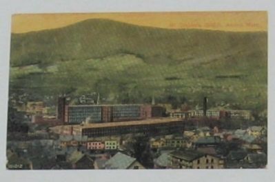
Berkshire Mills
The Berkshire Cotton Manufacturing Company mill complex (above) in the center of Adams employed thousands of workers between its founding in 1889 and its closure in 1958. In this 1916 photograph (right) taken at Berkshire Mills by noted U.S. photographer Lewis Hine, a 14-year old girl spins cloth at her work station, winding the thread onto spools and bobbins like those shown below.
From Devastation to Conservation
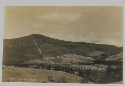
In the mid-19th century, writers like Nathaniel Hawthorne and Herman Melville both viewed Greylock as an emblem of nature’s majesty – Melville dedicated his novel Pierre (1857) to the mountain. But as artists extolled its beauty, others were alarmed by its rapid deforestation (above, a postcard from 1910). The protection of Greylock, which gave us the reforested landscape we see today, was one of the first crusades – and first victories – of the new conservation movement.
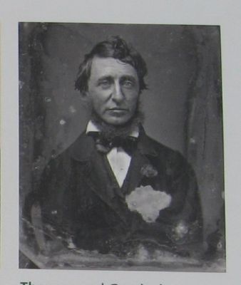
Thoreau and Greylock
Among the first writers to visit Greylock as Henry David Thoreau, who slept on the summit – and woke to find himself alone, above “an ocean of mist, which . . . shut out every vestige of the earth” below. The celestial beauty of the sight helped spur Thoreau’s belief in nature’s profound ethical and spiritual value, a view that he laid out in works such as Walden (1854) and The Maine Woods (1864).
“It was such a country as we might see in dreams, with all the delights of paradise. There were immense snowy pastures, apparently smooth-shaven and firm, and shady vales between the vaporous mountains . . . . It was a favor for which to be forever silent to be shown this vision.” – Henry David Thoreau, A Week on the Concord and Merrimack Rivers, 1849
Erected by Massachusetts Department of Conservation and Recreation.
Topics and series. This historical marker is listed in this topic list: Environment. In addition, it is included in the Former U.S. Presidents: #02 John Adams series list. A significant historical year for this entry is 1889.
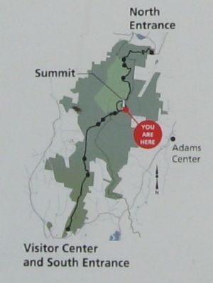
Location. 42° 38.093′ N, 73° 9.894′ W. Marker is in Lanesborough, Massachusetts, in Berkshire County. Marker is on Rockwell Road, 8 miles north of Quarry Road, on the right when traveling north. Located on the road to Mount Greylock, tallest peak in Massachusetts, approximately 1/2 mile before the summit. Touch for map. Marker is at or near this postal address: 30 Rockwell Road, Lanesboro MA 01237, United States of America. Touch for directions.
Other nearby markers. At least 8 other markers are within walking distance of this marker. One Hundred Years (about 700 feet away, measured in a direct line); The Summit: A Peak Experience (approx. 0.2 miles away); War Memorial Tower (approx. 0.2 miles away); Bascom Lodge (approx. 0.2 miles away); Veterans War Memorial Tower (approx. 0.2 miles away); Mount Greylock, elevation 3,491 feet (approx. 0.2
miles away); "A Beacon Standing for Peace" (approx. 0.2 miles away); The Summit: An Island Above the Clouds (approx. 0.2 miles away). Touch for a list and map of all markers in Lanesborough.
Also see . . .
1. Mount Greylock State Reservation. (Submitted on July 7, 2015, by Michael Herrick of Southbury, Connecticut.)
2. Mount Greylock on Wikipedia. (Submitted on July 7, 2015, by Michael Herrick of Southbury, Connecticut.)
Credits. This page was last revised on June 16, 2016. It was originally submitted on July 7, 2015, by Michael Herrick of Southbury, Connecticut. This page has been viewed 466 times since then and 12 times this year. Photos: 1, 2, 3, 4, 5, 6, 7, 8, 9, 10, 11. submitted on July 7, 2015, by Michael Herrick of Southbury, Connecticut.
