New Bedford in Bristol County, Massachusetts — The American Northeast (New England)
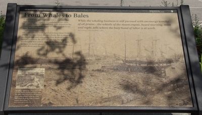
From Whales to Bales
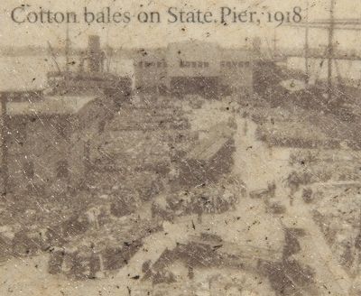
A one-industry whaling town before the Civil War, New Bedford became a one-industry textile town afterward. Cotton bales and coal, both bound for the city's new textile mills, began to replace oil casks on New Bedford wharves.
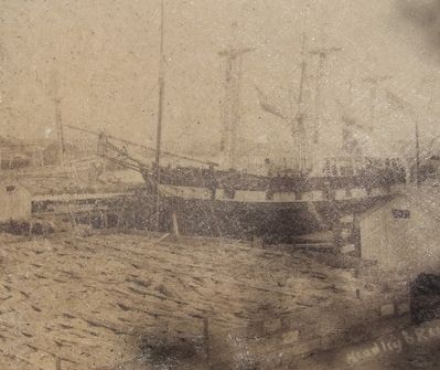
Oil casks covered with seaweed to keep them from drying out once lined the waterfront. But as whaling profits shrank and risks grew, New Bedford investors turned to cotton. By 1900 the city was the largest producer of fine cotton cloth in the nation. By 1918, as many as 35,000 people in the city were making cotton shirts and sheets.
In 1918, to speed up cotton deliveries to New England and Fall River mills, the state built this pier in the place of three older private wharves. State Pier could dock the largest coastal vessels then afloat.
While the whaling business is still pursued with an energy worthy of all praise ... the whistle of the steam engine, heard morning, noon and night, tells where the busy hand of labor is at work.
Erected by National Parks Service, Department of the Interior.
Topics. This historical marker is listed in these topic lists: Industry & Commerce • Waterways & Vessels. A significant historical year for this entry is 1900.
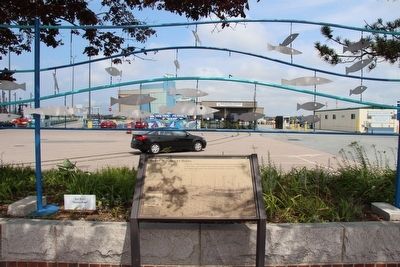
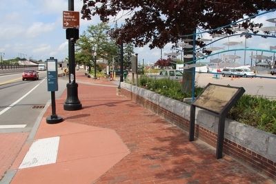
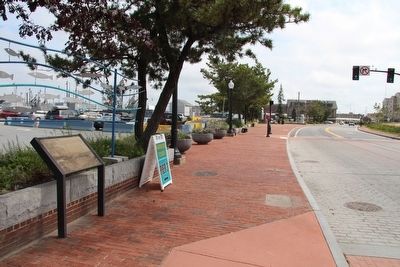
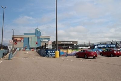
Location. 41° 38.09′ N, 70° 55.265′ W. Marker is in New Bedford, Massachusetts, in Bristol County. Marker is on MacArthur Drive south of Elm Street, on the left when traveling south. This marker is located in the downtown area, along the waterfront, very near the New Bedford Harbor, Ferry Terminal. Touch for map. Marker is in this post office area: New Bedford MA 02740, United States of America. Touch for directions.
Other nearby markers. At least 8 other markers are within walking distance of this marker. Commonwealth of Toil (a few steps from this marker); From Whales to Flatfish and Scallops (within shouting distance of this marker); Colonel George Claghorn (about 300 feet away, measured in a direct line); The Dartmouth (about 300 feet away); Ernestina's Many Lives (about 300 feet away); Working Waterfront (about 300 feet away); Whaling Capital (about 300 feet away); Cape Verde to New Bedford (about 300 feet away). Touch for a list and map of all markers in New Bedford.
Credits. This page was last revised on June 16, 2016. It was originally submitted on August 5, 2015, by Dale K. Benington of Toledo, Ohio. This page has been viewed 337 times since then and 16 times this year. Photos: 1, 2, 3, 4, 5, 6, 7. submitted on August 5, 2015, by Dale K. Benington of Toledo, Ohio.
