Guernsey in Platte County, Wyoming — The American West (Mountains)
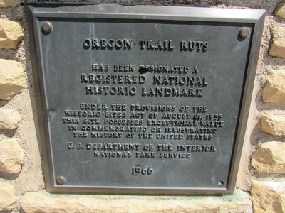
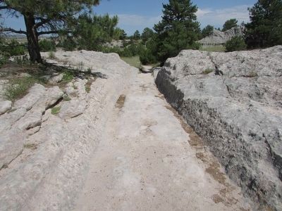
Oregon Trail Ruts
Registered National
Historic Landmark
Under the provisions of the
Historic Sites Act of August 21, 1935
this site possesses exceptional value
in commemorating or illustrating
the history of the United States.
U.S. Department of the Interior
National Park Service
1966
Erected 1966 by National Park Service.
Topics and series. This historical marker is listed in this topic list: Roads & Vehicles. In addition, it is included in the National Historic Landmarks series list. A significant historical year for this entry is 1935.
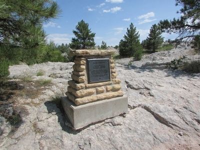
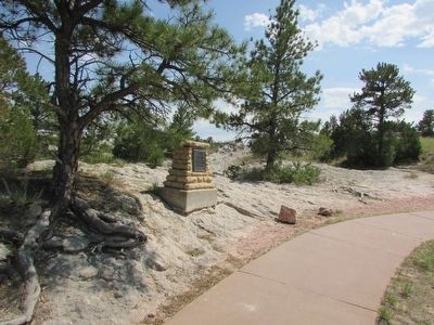
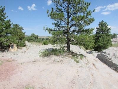
Location. 42° 15.361′ N, 104° 44.899′ W. Marker is in Guernsey, Wyoming, in Platte County. Marker can be reached from Lucinda Rollins Road, on the right when traveling south. Marker is located in Oregon Trail Ruts State Historic Site. Touch for map. Marker is in this post office area: Guernsey WY 82214, United States of America. Touch for directions.
Other nearby markers. At least 8 other markers are within walking distance of this marker. The US Army’s Role in Protecting the Oregon Trail is Best Described by the Soldiers (within shouting distance of this marker); Forts, Stations, and Camps (about 300 feet away, measured in a direct line); The United States Army and the Oregon Trail (about 400 feet away); Oregon Trail Ruts State Historic Site (about 400 feet away); a different marker also named Oregon Trail Ruts (about 400 feet away); Encampments in the Guernsey Area (about 500 feet away); Grave of Lucindy Rollins (approx. 0.4 miles away); Laramie Peak (approx. one mile away). Touch for a list and map of all markers in Guernsey.
Credits. This page was last revised on June 16, 2016. It was originally submitted on August 9, 2015, by Bill Coughlin of Woodland Park, New Jersey. This page has been viewed 392 times since then and 11 times this year. Photos: 1, 2, 3, 4, 5. submitted on August 9, 2015, by Bill Coughlin of Woodland Park, New Jersey.
