Homewood in Cook County, Illinois — The American Midwest (Great Lakes)
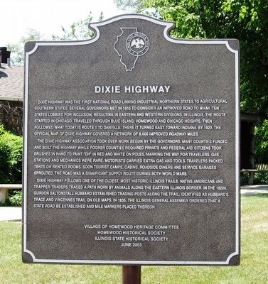
Dixie Highway
The Dixie Highway Association took over work begun by the governors. Many counties funded and built the highway while poorer counties required private and federal aid. Citizens took brushes in hand to paint "DH" in red and white on poles, marking the way for travelers. Gas stations and mechanics were rare. Motorists carried extra gas and tools. Travelers packed tents or rented rooms. Soon tourist camps, cabins, roadside diners, and service garages sprouted. The road was a significant supply route during both world wars.
Dixie Highway follows one of the oldest, most historic Illinois trails. Native Americans and trapper-traders traced a path worn by animals along the eastern Illinois border. In the 1820s, Gurdon Saltonstall Hubbard established trading posts along the trail, identified as Hubbard's Trace and Vincennes Trail on old maps. In 1835, the Illinois General Assembly ordered that a state road be established and mile markers placed thereon.
Erected 2003 by Village of Homewood Heritage Committee, the Homewood Historical Society, and the Illinois State Historical Society.
Topics and series. This historical marker is listed in this topic list: Roads & Vehicles. In addition, it is included in the Illinois State Historical Society series list. A significant historical year for this entry is 1915.
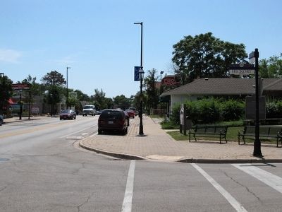
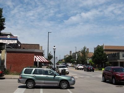
Location. 41° 33.611′ N, 87° 39.934′ W. Marker is in Homewood, Illinois, in Cook County. Marker is at the intersection of Dixie Highway and Hickory Road, on the right when traveling south on Dixie Highway. Marker is located at entrance to Independence Park. Touch for map. Marker is at or near this postal address: 18120 Dixie Hwy, Homewood IL 60430, United States of America. Touch for directions.
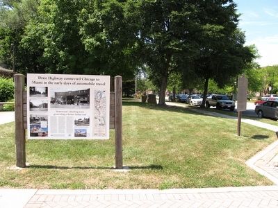
Other nearby markers. At least 8 other markers are within 6 miles of this marker, measured as the crow flies. Dixie Highway connected Chicago to Miami in the early days of automobile travel (here, next to this marker); Washington Park Racetrack (approx. 1˝ miles away); Camp Thornton #2605 and the Civil Conservation Corps (approx. 3˝ miles away); Site of Absolem Wells Cabin (approx. 3.8 miles away); Chicago Heights (approx. 4.1 miles
away); Matteson, Illinois (approx. 4.8 miles away); Park Forest, Illinois (approx. 5˝ miles away); Dedicated to Adam Brown (approx. 5.7 miles away). Touch for a list and map of all markers in Homewood.
Credits. This page was last revised on January 30, 2023. It was originally submitted on August 12, 2015, by Paul Fehrenbach of Germantown, Wisconsin. This page has been viewed 894 times since then and 105 times this year. Photos: 1, 2, 3, 4. submitted on August 12, 2015, by Paul Fehrenbach of Germantown, Wisconsin. • Bill Pfingsten was the editor who published this page.


