Near Stanton in Jefferson County, Mississippi — The American South (East South Central)
Mount Locust
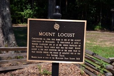
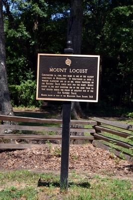
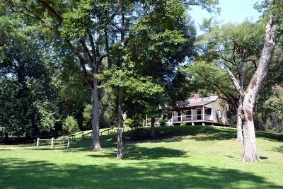
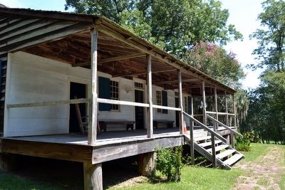
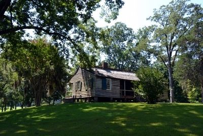
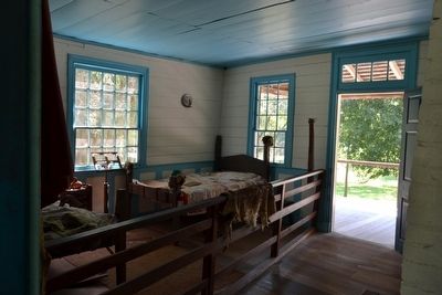
Constructed ca. 1780, this home is one of the oldest structures in Mississippi. It functioned as both a working plantation and as an inn, where travelers on the Natchez Trace could rest for the night. Mount Locust is the only surviving inn of the more than 50 that existed during the period of greatest use of the Old Natchez Trace.
Erected 2004 by Mississippi State Society, Daughters of the American Revolution.
Topics and series. This historical marker is listed in these topic lists: Industry & Commerce • Roads & Vehicles. In addition, it is included in the Daughters of the American Revolution, and the Natchez Trace series lists. A significant historical year for this entry is 1780.
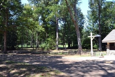
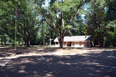
Location. 31° 41.207′ N, 91° 11.353′ W. Marker is near Stanton, Mississippi, in Jefferson County. Marker can be reached from Natchez Trace Parkway (at milepost 15.5), 0.2 miles south of Cannonsburg Road. Marker is located at the Mount Locust turnout next to the ranger station / restroom building. Touch for map. Marker is in this post office area: Natchez MS 39120, United States of America. Touch for directions.
Other nearby markers. At least 8 other markers are within 4 miles of this marker, measured as the crow flies. A different marker also named Mount Locust (a few steps from this marker); Loess Bluff (approx. 3 miles away); Church Hill (approx. 3˝ miles away); Salem Church (approx. 3.7 miles away); The Baptist Record (approx. 3.8 miles away); Mississippi Baptist Health Systems, Inc. (approx. 3.8 miles away); Baptist Building (approx. 3.8 miles away); Conference Ministries (approx. 3.8 miles away). Touch for a list and map of all markers in Stanton.
Also see . . .
1. Natchez Trace Parkway. Official National Park Service website. (Submitted on August 16, 2015.)
2. This Is The Oldest Place You Can Possibly Go In Mississippi And Its History Will Fascinate You. Only In Your State website entry (Submitted on December 8, 2021, by Larry Gertner of New York, New York.)
Credits. This page was last revised on December 8, 2021. It was originally submitted on August 16, 2015, by Duane Hall of Abilene, Texas. This page has been viewed 406 times since then and 22 times this year. Photos: 1, 2, 3, 4, 5, 6, 7, 8. submitted on August 16, 2015, by Duane Hall of Abilene, Texas.
