Marker Logo HMdb.org THE HISTORICAL
MARKER DATABASE
“Bite-Size Bits of Local, National, and Global History”
Near Hermanville in Claiborne County, Mississippi — The American South (East South Central)
 

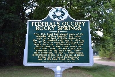
Federals Occupy Rocky Springs


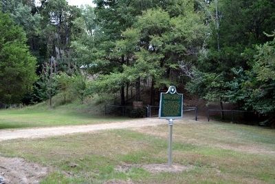
Federals Occupy Rocky Springs Marker image. Click for full size.
Photographed By Duane Hall, August 4, 2015
1. Federals Occupy Rocky Springs Marker
Inscription. After U.S. Grant had planned much of his campaign at Mrs. Bagnell’s, four miles west, he arrived at Rocky Springs on May 7. He remained until May 10, allowing the XV Corps to cross the Mississippi and rejoin the army. McClernand’s XIII Corps arrived here on May 6 and moved to Little Sand Creek, one and a half miles northeast and Big Sand Creek, three miles northeast, on May 7. Grant issued motivational orders to his troops at Rocky Springs and reviewed McClernand’s men at Big Sand Creek on May 8.
 
Erected 2013 by Mississippi Department of Archives and History. (Marker Number 7.)
 
Topics and series. This historical marker is listed in this topic list: War, US Civil. In addition, it is included in the Former U.S. Presidents: #18 Ulysses S. Grant, and the Mississippi State Historical Marker Program series lists. A significant day of the year for for this entry is May 7.
 
Location. 32° 5.388′ N, 90° 48.837′ W. Marker is near Hermanville, Mississippi, in Claiborne County. Marker is on Old Port Gibson Road (State Highway 462) half a mile south of Moulder Road, on the right when traveling north. Touch for map. Marker is in this post office area: Hermanville MS 39086, United States of America. Touch for directions.
 
Other nearby markers. At least 8 other markers are within 6 miles of this marker, measured as the crow flies. The Town of Rocky Springs (about 400 feet away, measured in a direct line); Rocky Springs
Paid Advertisement
Click on the ad for more information.
Please report objectionable advertising to the Editor.
Click or scan to see
this page online
(approx. 0.3 miles away); The Old Natchez Trace (approx. 0.3 miles away); To The Railroad (approx. 1.4 miles away); Owens Creek (approx. 2.1 miles away); Concentration of Troops (approx. 2.9 miles away); Historic Crossroads (approx. 5.3 miles away); Grant at Hankinson's Ferry (approx. 5.7 miles away). Touch for a list and map of all markers in Hermanville.
 
Federals Occupy Rocky Springs Marker image. Click for full size.
Photographed By Duane Hall, August 4, 2015
2. Federals Occupy Rocky Springs Marker
Rocky Springs Church behind trees in background
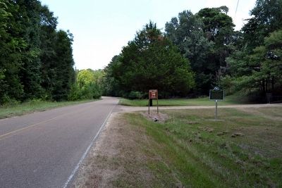
View to North Along Old Port Gibson Road image. Click for full size.
Photographed By Duane Hall, August 4, 2015
3. View to North Along Old Port Gibson Road
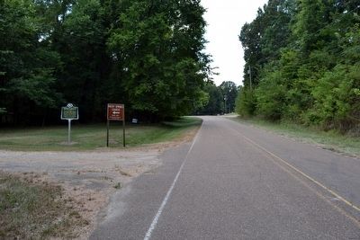
View to South Along Old Port Gibson Road image. Click for full size.
Photographed By Duane Hall, August 4, 2015
4. View to South Along Old Port Gibson Road
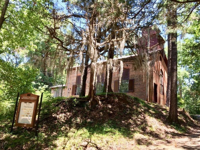
The Rocky Springs Methodist Church just near the marker. image. Click for full size.
Photographed By Mark Hilton, May 26, 2017
5. The Rocky Springs Methodist Church just near the marker.
 
 
Credits. This page was last revised on May 29, 2017. It was originally submitted on August 18, 2015, by Duane Hall of Abilene, Texas. This page has been viewed 550 times since then and 22 times this year. Photos:   1, 2, 3, 4. submitted on August 18, 2015, by Duane Hall of Abilene, Texas.   5. submitted on May 26, 2017, by Mark Hilton of Montgomery, Alabama.
Share this page.  
Share on Tumblr
m=87358

CeraNet Cloud Computing sponsors the Historical Marker Database.
This website earns income from purchases you make after using our links to Amazon.com. We appreciate your support.
Paid Advertisement
Apr. 26, 2024