Shell in Big Horn County, Wyoming — The American West (Mountains)
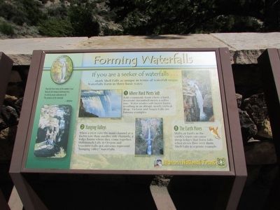
Forming Waterfalls
If you are a seeker of waterfalls . . .
. . . . mark Shell Falls as unique in terms of waterfall origin. Waterfalls form in three basic ways:
1. Where Hard Meets Soft
Falls commonly form where a hard, resistant streambed meets a softer one. Water erodes soft layers faster, resulting in an abrupt, nearly vertical drop. Victoria and Niagra Falls are famous examples.
2. Hanging Valleys
When a river cuts the main channel at a faster rate than smaller side channels, a ledge forms where they come together. Multnomah Falls in Oregon and Yosemite Falls in California represent “hanging valley” waterfalls.
3. The Earth Moves
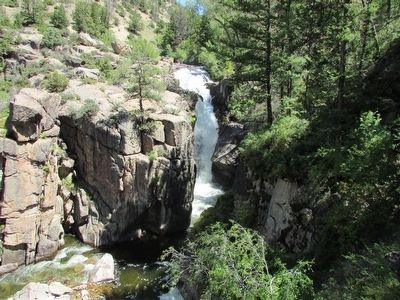
Shifts or faults in the earth’s crust can cause steep ledges that form falls when rivers flow over them. Shell Falls is a prime example.
They left their home of the summer’s ease
Beneath the lowland sheltering trees,
To seek by means unknown to all
The promise of the waterfall.
~ Whittier
Erected by Bighorn National Forest.
Topics. This historical marker is listed in this topic list: Natural Features.
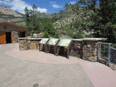
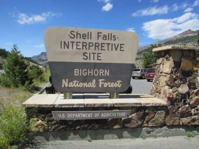
Location. 44° 35.207′ N, 107° 36.893′ W. Marker is in Shell, Wyoming, in Big Horn County. Marker can be reached from U.S. 14, on the right when traveling west. Marker is located in the Shell Falls Interpretive Site in Bighorn National Forest. Touch for map. Marker is in this post office area: Shell WY 82441, United States of America. Touch for directions.
Other nearby markers. At least 8 other markers are within walking distance of this marker. Shaping a Canyon (here, next to this marker); A 4,000 Mile Journey (here, next to this marker); Oasis in the Desert (a few steps from this marker); Lifeblood of the West (a few steps from this marker); Carving a Course (a few steps from this marker); Hummingbirds (a few steps from this marker); Moving Mountains (within shouting distance of this marker); Wringing Out a Livelihood (about 300 feet away, measured in a direct line). Touch for a list and map of all markers in Shell.
More about this marker. Photographs of Niagra Falls, Multnomah Falls and Shell Falls appear on the marker.
Credits. This page was last revised on June 16, 2016. It was originally submitted on September 4, 2015, by Bill Coughlin of Woodland Park, New Jersey. This page has been viewed 378 times since then and 11 times this year. Photos: 1, 2, 3, 4. submitted on September 4, 2015, by Bill Coughlin of Woodland Park, New Jersey.


