Near Amarillo in Potter County, Texas — The American South (West South Central)
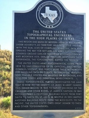
The United States Topographical Engineers in the High Plains of Texas
Inscription.
This region and much of western America was mapped under adversity, as territory held by hostile Indians. With the dual aims of compiling scientific data and opening the way for settlers, U.S. Army topographers covered ground earlier traversed by conquistadors and mountain men. Earlier travelers mentioned their experiences. The topographers mapped the terrain.
The United States Army Topographical Corps from 1838 to 1863 consisted of 36 officers. Barometer, compass, sextant, and pencil were their instruments for handling data on climate, geographical features, soil, feasible routes for wagons or railroads, and sites for towns and industrial developments.
Three topographical parties investigated the land that is now Potter County: Lt. James W. Abert invaded this Indian region in 1845 to survey environs of the Canadian and other rivers; Lt. James H. Simpson in 1849 reconnoitered a proposed railroad route from Fort Smith to Santa Fe; Lt. Amiel W. Whipple in 1853 mapped another railroad route from the Mississippi to the Pacific. The United States owes great honor to these and other topographers.
Erected 1973 by Texas Historical Commission. (Marker Number 5609.)
Topics. This historical marker is listed in these topic lists: Exploration • Native Americans • Railroads & Streetcars • Settlements & Settlers. A significant historical year for this entry is 1838.
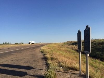
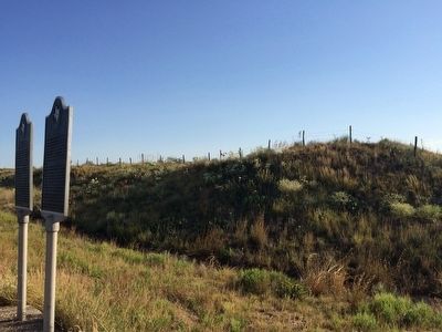
Location. 35° 27.322′ N, 101° 52.193′ W. Marker is near Amarillo, Texas, in Potter County. Marker is on U.S. 87, one mile south of Canadian River Road, on the right when traveling south. Located 1.2 miles south of the Canadian River. Touch for map. Marker is in this post office area: Amarillo TX 79108, United States of America. Touch for directions.
Other nearby markers. At least 8 other markers are within 14 miles of this marker, measured as the crow flies. The _X (LX) First Ranch in Potter County (here, next to this marker); The Canadian River (approx. 1.6 miles away); Great Spanish Road / First Ranch in Potter County / First Store in Potter County (approx. 1.6 miles away); First Cemetery in Potter County (approx. 1.7 miles away); First Gas Well in the Panhandle of Texas (approx. 9.3 miles away); McBride Ranch House (approx. 9.9 miles away); a different marker also named The Canadian River (approx. 12.3 miles away); Masterson (approx. 13.3 miles away). Touch for a list and map of all markers in Amarillo.
Additional keywords. scientific topics; Exploration and expeditions; geology
Credits. This page was last revised on June 16, 2016. It was originally submitted on September 20, 2015, by Mark Hilton of Montgomery, Alabama. This page has been viewed 1,843 times since then and 137 times this year. Photos: 1, 2, 3. submitted on September 20, 2015, by Mark Hilton of Montgomery, Alabama.


