Henderson in Henderson County, Kentucky — The American South (East South Central)
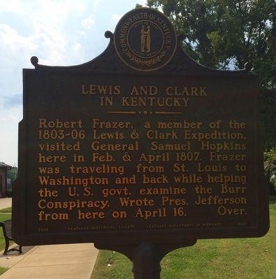
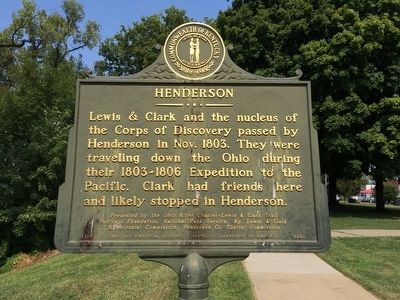
Lewis and Clark in Kentucky / Henderson
Heritage Foundation. National Park Service, Ky. Lewis & Clark
Bicentennial Commission, Henderson Co. Tourist Commission.
Erected 2006 by the Kentucky Historical Society Kentucky Department of Highways. (Marker Number 2220.)
Topics and series. This historical marker is listed in these topic lists: Exploration • Waterways & Vessels. In addition, it is included in the Kentucky Historical Society series list. A significant historical month for this entry is April 1807.
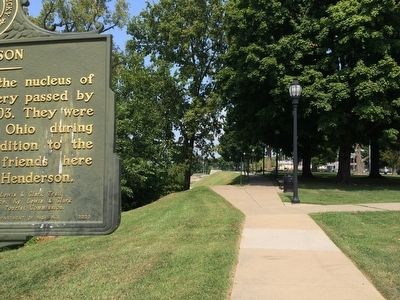
Location. 37° 50.425′ N, 87° 35.683′ W. Marker is in Henderson, Kentucky, in Henderson County. Marker can be reached from the intersection of North Water Street and 1st Street. Located behind the Henderson Welcome Center - The Depot, on the back right. Touch for map. Marker is at or near this postal address: 101 North Water Street, Henderson KY 42420, United States of America. Touch for directions.
Other nearby markers. At least 8 other markers are within walking distance of this marker. Henderson's Governors (within shouting distance of this marker); Father of the Blues (within shouting distance of this marker); Military Execution of Guerrillas (within shouting distance of this marker); John James Audubon in Henderson (within shouting distance of this marker); General "Stovepipe" Johnson (within shouting distance of this marker); Steamboats (about 300 feet away, measured in a direct line); Audubon Saw and Grist Mill (about 300 feet away); Good Government League (about 300 feet away). Touch for a list and map of all markers in Henderson.
Credits. This page was last revised on October 30, 2020. It was originally submitted on September 24, 2015, by Mark Hilton of Montgomery, Alabama. This page has been viewed 382 times since then and 26 times this year. Photos: 1, 2, 3. submitted on September 24, 2015, by Mark Hilton of Montgomery, Alabama.


