Lime Ridge in Columbia County, Pennsylvania — The American Northeast (Mid-Atlantic)
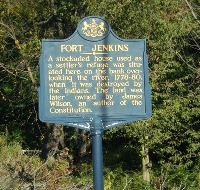
Fort Jenkins
Erected 1948 by Pennsylvania Historical & Museum Commission.
Topics and series. This memorial is listed in these topic lists: Forts and Castles • Native Americans • War, US Revolutionary. In addition, it is included in the Pennsylvania Historical and Museum Commission series list.
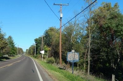
Location. 41° 1.888′ N, 76° 19.576′ W. Marker is in Lime Ridge, Pennsylvania, in Columbia County. Memorial is on Old Berwick Road just east of Naus Way. Touch for map. Marker is in this post office area: Bloomsburg PA 17815, United States of America. Touch for directions.
Other nearby markers. At least 8 other markers are within 5 miles of this marker, measured as the crow flies. The Old Stone (Methodist Episcopal) Church (approx. 2.4 miles away); Fowlersville Bridge (approx. 3 miles away); Fowlersville Covered Bridge (approx. 3 miles away); Columbia County Heroes of Vietnam (approx. 3.2 miles away); 9/11 Memorial (approx. 4.6 miles away); Stuart Tank (approx. 4.7 miles away); Evan Owen (approx. 5 miles away); Berwick Founder, Settlers, and Pioneers (approx. 5.1 miles away).
Credits. This page was last revised on June 16, 2016. It was originally submitted on October 24, 2015, by Don Morfe of Baltimore, Maryland. This page has been viewed 381 times since then and 18 times this year. Photos: 1, 2. submitted on October 24, 2015, by Don Morfe of Baltimore, Maryland. • Bill Pfingsten was the editor who published this page.

