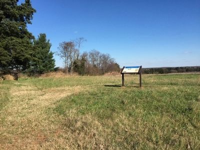
Near Brandy Station in Culpeper County, Virginia — The American South (Mid-Atlantic)
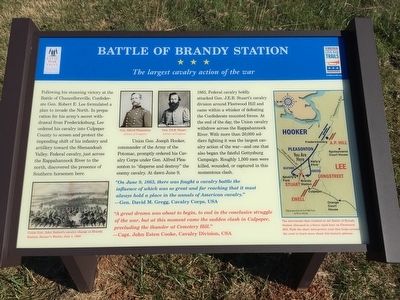
Battle of Brandy Station
The largest cavalry action of the war
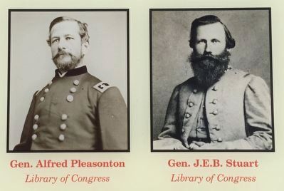
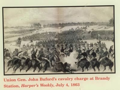
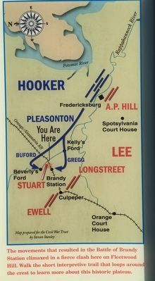
Union Gen. Joseph Hooker, commander of the Army of the Potomac, promptly ordered his Cavalry Corps under Gen. Alfred Pleasonton to "disperse and destroy" the enemy cavalry. At dawn June 9, 1863, Federal cavalry boldly attacked Gen. J.E.B. Stuart's cavalry division around Fleetwood Hill and came within a whisker of defeating the Confederate mounted forces. At the end of the day, Union cavalry withdrew across the Rappahannock River. With more than 20,000 soldiers fighting it was the largest cavalry action of the war - and one that also began the fateful Gettysburg Campaign. Roughly 1,500 men were killed, wounded, or captured in this momentous clash.
"On June 9, 1863, there was fought a cavalry battle the influence of which was so great and far reaching that it must always hold a place in the annals of American cavalry." - Gen. David M. Gregg, Cavalry Corps, USA
"A great drama was about to begin, to end the conclusive struggle of the war, but at this moment came the sudden clash in Culpeper, precluding the thunder at Cemetery Hill." - Capt. John Esten Cooke, Cavalry Division, CSA
Erected 2015 by Virginia Civil War Trails.
Topics. This historical marker is listed in this topic list: War, US Civil. A significant historical date for this entry is June 9, 1863.
Location. 38° 30.566′ N, 77° 52.748′ W. Marker is near Brandy Station, Virginia, in Culpeper County. Marker is on Fleetwood Heights Road (County Route 685), on the right when traveling east. Touch for map. Marker is in this post office area: Brandy Station VA 22714, United States of America. Touch for directions.
Other nearby markers. At least 8 other markers are within walking distance of this marker. A different marker also named Battle of Brandy Station (a few steps from this marker); George C. Hupp (within shouting distance of this marker); a different marker also named Battle of Brandy Station (within shouting distance of this marker); a different marker also named Battle of Brandy Station (within shouting distance of this marker); a different marker also named Battle of Brandy Station (within shouting distance of this marker); a different marker also named Battle of Brandy Station (within shouting distance of this
marker); a different marker also named Battle of Brandy Station (within shouting distance of this marker); a different marker also named Battle of Brandy Station (within shouting distance of this marker). Touch for a list and map of all markers in Brandy Station.
Also see . . . Fleetwood Hill Preservation. On October 26, 2015, Civil War Trust formally opened the interpretive trail on Fleetwood Hill. The Trust has led efforts over several decades to preserve the battlefield of Brandy Station. The purchase of the southern crest of Fleetwood Hill, in 2013, was a significant victory in that effort. This marker is the "trailhead" for an interpretive trail across the most historic hilltop. (Submitted on December 11, 2015, by Craig Swain of Leesburg, Virginia.)
Credits. This page was last revised on March 20, 2017. It was originally submitted on December 11, 2015, by Craig Swain of Leesburg, Virginia. This page has been viewed 622 times since then and 30 times this year. Photos: 1, 2, 3, 4, 5. submitted on December 11, 2015, by Craig Swain of Leesburg, Virginia.
