Coltons Point in St. Mary's County, Maryland — The American Northeast (Mid-Atlantic)
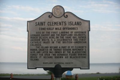
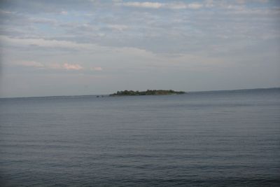
Saint Clement’s Island
(One-half mile offshore)
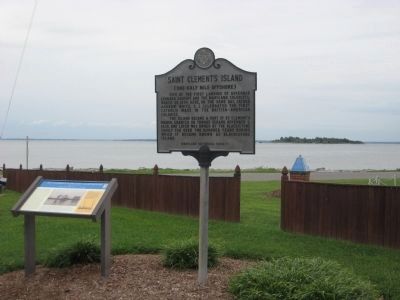
Site of the first landing of Governor Leonard Calvert and the Maryland colonists, March 25, 1634. Here, on the same day, Father Andrew White, S. J. celebrated the first Catholic mass in the British-American colonies.
The Island became a part of St. Clements Manor, granted Dr. Thomas Gerard, November 3, 1639 and was later owned by the Blackistone family for over 200 years during which it was known as Blackistone Island.
Erected by Maryland Historical Society.
Topics. This historical marker is listed in these topic lists: Natural Features • Notable Places. A significant historical date for this entry is March 25, 1736.
Location. 38° 13.477′ N, 76° 45.029′ W. Marker is in Coltons Point, Maryland, in St. Mary's County. Marker is on Point Breeze Road, 0.2 miles east of Colton Point Road (Route 242), on the left when traveling east. Touch for map. Marker is in this post office area: Coltons Point MD 20626, United States of America. Touch for directions.
Other nearby markers. At least 8 other markers are within walking distance of this marker. The Black Diamond Incident (a few steps from this marker); Mother of Light Shrine (a few steps from this marker); St. Clements Manor (a few steps from this marker); Journey to an Island (within shouting distance of this marker); With Great Emotion of Soul (within shouting distance of this marker); Dory Boats (within shouting distance of this marker); St. Clement's Island Museum (within shouting distance of this marker); Charlotte Hall School (within shouting distance of this marker). Touch for a list and map of all markers in Coltons Point.
Photographed By F. Robby, August 31, 2009
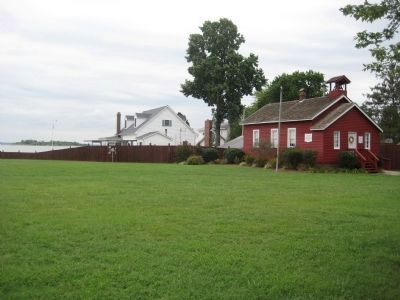
5. Little Red Schoolhouse
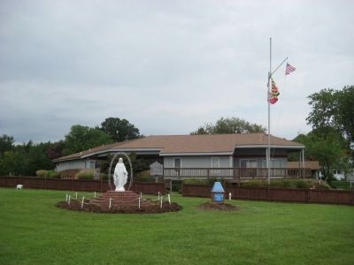
Next to the museum and marker is the Little Red Schoolhouse, which was built in 1820 and originally located on Thompson Corner Road in Charlotte Hall. It was moved in 1991 to its current location and is now used by the museum as an educational classroom. St. Clements Island can be seen on the left.
Credits. This page was last revised on August 26, 2022. It was originally submitted on July 14, 2008, by Tom Fuchs of Greenbelt, Maryland. This page has been viewed 1,477 times since then and 17 times this year. Photos: 1. submitted on July 14, 2008, by Tom Fuchs of Greenbelt, Maryland. 2. submitted on September 4, 2009, by F. Robby of Baltimore, Maryland. 3. submitted on July 15, 2008, by Tom Fuchs of Greenbelt, Maryland. 4, 5, 6. submitted on November 7, 2009, by F. Robby of Baltimore, Maryland.
