Mount Pleasant Township near Gettysburg in Adams County, Pennsylvania — The American Northeast (Mid-Atlantic)
First Brigade
Second Division - Cavalry Corps
— Army of the Potomac —
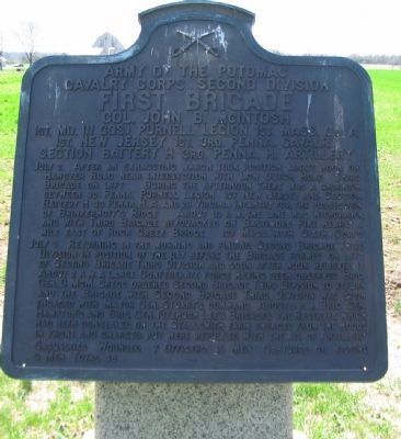
Cavalry Corps Second Division
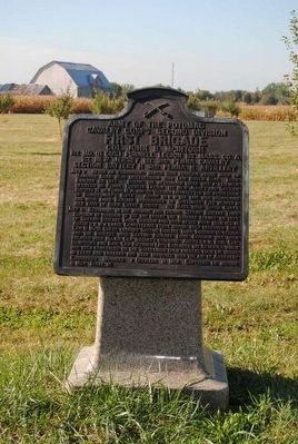
First Brigade
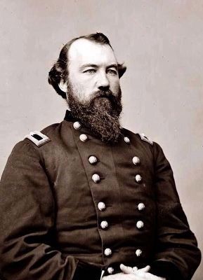
Col. John B. McIntosh
1st Md. (11 Cos.) Purnell Legion, 1st Mass. Co. A.
1st New Jersey, 1st, 3rd Penna. Cavalry
Section Battery H, 3rd. Penna. H. Artillery
July 2 After an exhausting march took position about noon on Hanover Road near intersection with Low Dutch Road. Third brigade on left. During the afternoon there was a skirmish between Penna., Purnell Legion, 1st New Jersey, and Section Battery H 3d Penna. H.A. and 2d Virginia Infantry for the possession of Brinkerhoff's Ridge. About 10 p.m. the line was withdrawn and with Third Brigade bivouacked on Baltimore Pike nearly a mile east of Rock Creek Bridge. 1st Mass. with Sixth Corps.
July 3 Returning in the morning and finding Second Brigade Third in position of the day before the Brigade formed on left of Second Brigade Third Division and soon after noon relieved it. About 2 p.m. a large Confederate force having been observed Brig. Gen. D. McM. Gregg ordered Second Brigade Third Division to return and the Brigade with Second Brigade Third Division was soon engaged with Major Gen. Stuart's command. About 3 p.m. Brig. Gen. Hampton's and Brig. Gen. Fitzhugh Lee's Brigades the Reserves which had been concealed on the Stallsmith farm emerged from the woods in front and charged but were repulsed with the aid of Artillery.
Casualties Wounded 7 officers 19 men Captured or Missing 9 men Total 35.
Erected 1912 by Gettysburg National Military Park Commission.
Topics. This historical marker is listed in this topic list: War, US Civil. A significant historical date for this entry is July 2, 1863.
Location. 39° 49.554′ N, 77° 9.784′ W. Marker is near Gettysburg, Pennsylvania, in Adams County. It is in Mount Pleasant Township. Marker is on Cavalry Field Road (Gregg Avenue), on the right when traveling east. Located in the East Cavalry Battlefield section of the Gettysburg National Military Park. Touch for map. Marker is in this post office area: Gettysburg PA 17325, United States of America. Touch for directions.
Other nearby markers. At least 10 other markers are within walking distance of this marker. Second Division (within shouting distance of this marker); Gregg Cavalry Shaft (within shouting distance of this marker); 1st Regiment Maryland Cavalry (about 300 feet away, measured in a direct line); Co. A Purnell Legion (about 500 feet away); Third Pennsylvania Cavalry (about 500 feet away); Come on You Wolverines (about 600 feet away); Michigan Cavalry Brigade (about 600 feet away); Second Brigade (about 600 feet away); The Brook Rawle Memorial Flagpole (approx. ¼ mile away); Batteries E & G First U.S. Artillery (approx. 0.3 miles away). Touch for a list and map of all markers in Gettysburg.
Also see . . .
1. Brig. Gen. John B. McIntosh. Short biographical sketch of Colonel, later General, McIntosh from author Eric Wittenberg. (Submitted on July 17, 2008, by Craig Swain of Leesburg, Virginia.)
2. John Baillie McIntosh. John Baillie McIntosh (June 6, 1829 – June 29, 1888), although born in Florida, served as a Union Army brigadier general in the American Civil War, and brother of James M. McIntosh, a Confederate general who was killed in the Battle of Pea Ridge. (Submitted on November 29, 2015, by Brian Scott of Anderson, South Carolina.)
Photographed By Craig Swain, April 12, 2008
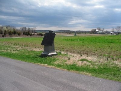
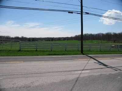
6. July 2 Fighting
At the intersection of Hoffman and Hanover Roads, looking south. On July 2, First Brigade was engaged against Confederate infantry posted on Brinkerhoff Ridge. The Purnell Legion and the 1st New Jersey deployed in the field across from the intersection facing to the west (right).
Photographed By Craig Swain, April 12, 2008
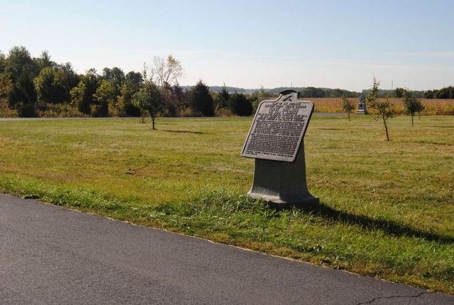
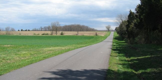
7. July 3 Fighting - Early Phases
During the early phases of the fighting on July 3, The Purnell Legion, 1st New Jersey, and 3rd Pennsylvania Cavalry engaged skirmishers from Witcher's 34th Virginia Cavalry Battalion in this vicinity. The photo was taken from East Cavalry Road at a point about a quarter mile from the 1st Brigade tablet, looking east.
Photographed By Craig Swain, April 12, 2008
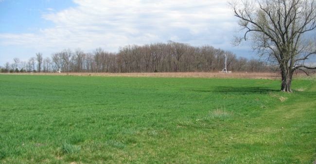
8. July 3 Fighting - Later Phases
Looking east from a point on Cavalry Field Road, across from the Michigan Monument. The tall monument in front of the tree line is the Gregg Cavalry Shaft. McIntosh's Brigade deployed in the woods behind the monument during the later phases of the fighting. As part of the final repulse of the Confederate cavalry, the 1st New Jersey deployed out of the woods into the open field.
Credits. This page was last revised on February 7, 2023. It was originally submitted on July 17, 2008, by Craig Swain of Leesburg, Virginia. This page has been viewed 1,078 times since then and 18 times this year. Photos: 1. submitted on July 17, 2008, by Craig Swain of Leesburg, Virginia. 2. submitted on November 29, 2015, by Brian Scott of Anderson, South Carolina. 3. submitted on July 17, 2008, by Craig Swain of Leesburg, Virginia. 4, 5. submitted on November 29, 2015, by Brian Scott of Anderson, South Carolina. 6, 7, 8. submitted on July 17, 2008, by Craig Swain of Leesburg, Virginia.
