Near Bend in Deschutes County, Oregon — The American West (Northwest)
Lava River Cave
(Marker #1)
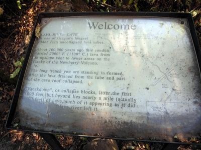
Welcome
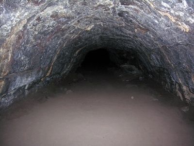
LAVA RIVER CAVE is one of Oregon's longest (5466 feet) uncollapsed lava tubes.
About 100,000 years ago, this conduit carried 2000° F. (1100° C.) lava from an upslope vent to lower areas on the flanks of the Newberry Volcano.
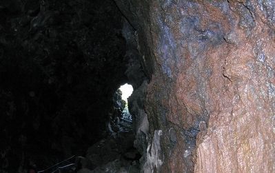
The long trench you are standing in formed after the lava drained from the tube and part of the cave roof collapsed.
"Breakdown", or collapse blocks, litter the first 1000 feet, but beyond lies nearly a mile (actually 4400 feet) of cave, much of it appearing as it did when the ancient lava river left it.
(Please leave the cave clean so others can enjoy it.)
(Marker #2)
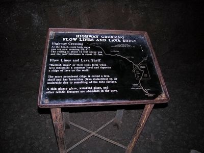
Highway Crossing, Flow Lines and Lava Shelf
Highway Crossing
At the bench–look both ways you are now crossing US 97! The ceiling is about 31 feet above you and the roof thickness is about 50 feet.
Flow Lines and Lava Shelf
"Bathtub rings" or flow lines form when lava maintains a constant level and deposits a ridge of lava on the wall. The more prominent ridge is called a lava shelf and has lavacicles (lava stalactities) on its underside due to remelting of the tube surface. A thin glassy glaze, wrinkled glaze, and other remelt features are abundant in the cave.
(Marker #3)
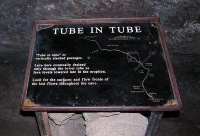
Tube in Tube
"Tube in tube" or vertically stacked passages. Lava here eventually drained only through the lower tube as lava levels lowered late in the eruption. Look for the surfaces and flow fronts of the last flows throughout the cave.
(Marker #4)
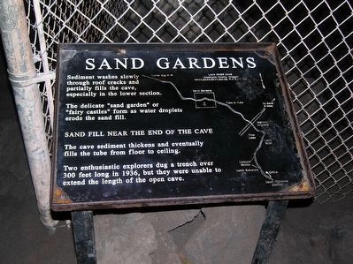
Sand Gardens
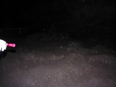
Sediment washes slowly through roof cracks and partially fills the cave, especially in the lower section. The delicate "sand garden" or "fairy castles" form as water droplets erode the sand fill.
SAND FILL NEAR THE END OF THE CAVE
The cave sediment thickens and eventually fills the tube from floor to ceiling. Two enthusiastic explorers dug a trench over 300 feet long in 1936, but they were unable to extend the length of the open cave.
Topics. This historical marker is listed in this topic list: Natural Features.
Location. 43° 53.697′ N, 121° 22.176′ W. Marker is near Bend, Oregon, in Deschutes County. Marker can be reached from Cottonwood Road, 0.7 miles north of Exit 151 (U.S. 97). Marker is located at the Lava River Cave Interpretive Site of Newberry National Volcanic Monument; it is near the north entrance to the cave. Touch for map. Marker is in this post office area: Bend OR 97707, United States of America. Touch for directions.
Other nearby markers. At least 8 other markers are within 11 miles of this marker, measured as the crow flies. Some Lava Flows Build Their Own Pipelines (a few steps from this marker); Lava Butte (approx. 1.7
miles away); River Ruler (approx. 3.3 miles away); Military Might Along The River: Camp Abbot (approx. 4.1 miles away); Journey of the Log to Lumber (approx. 10.7 miles away); Location, Location & Location (approx. 10.7 miles away); Today's Old Mill District (approx. 10.7 miles away); Thank Goodness for Water and Gravity (approx. 10.8 miles away). Touch for a list and map of all markers in Bend.
More about this marker. The first marker, Welcome, is located near the north entrance to Lava River Cave. The other three markers are located in the cave itself.
Also see . . . Lava River Cave - Wikipedia entry. (Submitted on March 8, 2016.)
Credits. This page was last revised on June 16, 2016. It was originally submitted on March 8, 2016, by Duane Hall of Abilene, Texas. This page has been viewed 373 times since then and 20 times this year. Photos: 1, 2, 3, 4, 5, 6, 7. submitted on March 8, 2016, by Duane Hall of Abilene, Texas.
