Lockport in Niagara County, New York — The American Northeast (Mid-Atlantic)
The "Deep Cut" at Lockport
The "Deep Cut" at Lockport
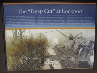
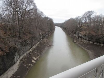
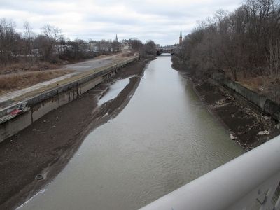
Here, only several miles from Lake Erie, Canal engineers faced a major natural barrier. To tap the water of Lake Erie and keep boats afloat, they knew the canal's channel had to flow downhill from the lake. But the blue limestone rock of the Niagara escarpment rose 30 feet too high. Without a viable alternative, engineers decided that the rocks had to yield. For three miles 1,200 workers, including many Irish immigrants, carved a trough through the hard, resistant rock. After months of backbreaking toil and countless earth shattering explosions that required tons of gunpower, the "Deep Cut" they left behind proved to be the last, most difficult, and costliest section of the original Erie Canal. The work held up the completion of the Erie Canal until 1825, one year after navigation was possible to the east and west. Despite the time it took to complete, the Deep Cut remains on of the canal's greatest engineering achievements. The later excavation of the Deep Cut during Barge Canal construction in the early 1900s also entailed massive amounts of rock excavation. However, modern steam shovels and dynamite made the job less formidable.
[opposite side]
Erie Canalway Trail
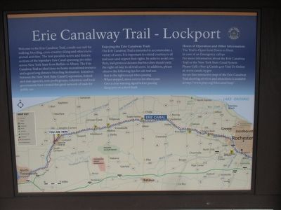
Welcome to the Erie Canalway Trail, a multi-use trail for walking, bicycling, cross-country skiing and other recreational activities. The trail parallels active and historic sections of the legendary Erie Canal spanning 360 miles across New York State from Buffalo to Albany. The Erie Canalway Trail an deal close-to-home recreational resource and a great long distance bicycling destination. Initiatives between the New York State Canal Corporation, federal and state agencies, non-profit groups, volunteers and local governments have created this great network of trails for public use.
Enjoying the Erie Canalway Trail: The Erie Canalway Trail is intended to accommodate a variety of users. It is important to extend courtesy to all trail users and respect their rights. In order to avoid conflicts, trail protocol dictates that bicyclists should yield the right-of-way to all trail users. In addition, please observe the following tips for safe trail use.
·Stay to the right except when passing.
·When stopped, move over to let others pass.
·Give a clear warning signal before passing.
·Keep pets on a short leash.
Erected by Erie Canalway Trail.
Topics and series. This historical marker is listed in this topic list: Waterways & Vessels. In addition, it is included in the Erie Canal series list. A significant historical year for this entry is 1825.
Location. 43° 9.835′ N, 78° 42.053′ W. Marker is in Lockport, New York, in Niagara County. Marker is on State Road south of Amelia Street, on the right when traveling west. Touch for map. Marker is at or near this postal address: 149 State Road, Lockport NY 14094, United States of America. Touch for directions.
Other nearby markers. At least 8 other markers are within walking distance of this marker. Lockport Locks (approx. ¼ mile away); Welcome to Ida Fritz Park (approx. 0.4 miles away); Lafayette's Tour (approx. 0.4 miles away); Niagara County Courthouse (approx. 0.4 miles away); W.H. Upson Coal Company Building (approx. 0.4 miles away); Dole House (approx. 0.4 miles away); The Kandt Home (approx. half a mile away); Washington Hunt Law Office (approx. half a mile away). Touch for a list and map of all markers in Lockport.
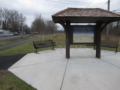
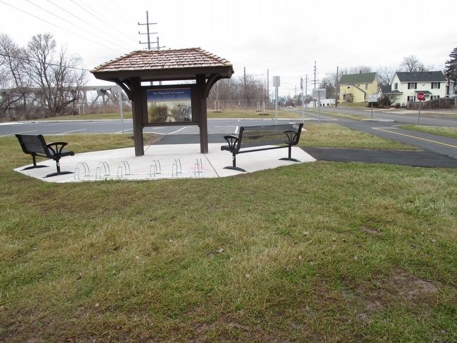
More about this marker. The marker, trail and parking area were probably installed in December 2015.
Regarding The "Deep Cut" at Lockport. The Deep Cut is significantly more than "several" miles from Lake Erie, however it may be said to be several miles from Tonawanda Creek which drains into the Niagara River. The Deep Cut connects to Tonawanda Creek to reach Lake Erie.
Credits. This page was last revised on April 23, 2023. It was originally submitted on March 13, 2016, by Anton Schwarzmueller of Wilson, New York. This page has been viewed 1,022 times since then and 93 times this year. Photos: 1, 2, 3, 4, 5, 6. submitted on March 13, 2016, by Anton Schwarzmueller of Wilson, New York.
