River Ridge in Jefferson Parish, Louisiana — The American South (West South Central)
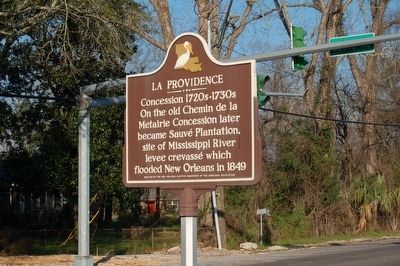
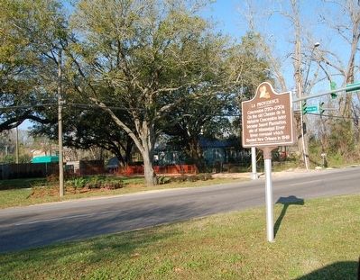
La Providence
On the old Chemin de la Metairie Concession, later became Sauvé Plantation, site of Mississippi River crevassé which flooded New Orleans in 1849.
Erected by New Orleans Chapter Daughters of the American Revolution.
Topics and series. This historical marker is listed in these topic lists: Colonial Era • Settlements & Settlers. In addition, it is included in the Daughters of the American Revolution series list. A significant historical year for this entry is 1720.
Location. 29° 57.618′ N, 90° 13.228′ W. Marker is in River Ridge, Louisiana, in Jefferson Parish. Marker is on Jefferson Highway (State Highway 48) south of Sauve Rd., in the median. Touch for map. Marker is in this post office area: New Orleans LA 70123, United States of America. Touch for directions.
Other nearby markers. At least 8 other markers are within 2 miles of this marker, measured as the crow flies. A different marker also named La Providence (about 500 feet away, measured in a direct line); First World Championship Heavyweight Prize Fight Monument (approx. 1.8 miles away); La Salle's Landing (approx. 1.8 miles away); La Salle's Landing - 1682 (approx. 1.8 miles away); Cannes Brûlées (approx. 1.8 miles away); Tchoupitoulas Plantation (approx. 1.9 miles away); Kenner White Sox (approx. 1.9 miles away); Kenner Community Band (approx. 1.9 miles away).
Credits. This page was last revised on November 26, 2022. It was originally submitted on March 26, 2016. This page has been viewed 486 times since then and 47 times this year. Photos: 1, 2. submitted on March 26, 2016. • Bill Pfingsten was the editor who published this page.

