Mount Pleasant Township near Gettysburg in Adams County, Pennsylvania — The American Northeast (Mid-Atlantic)
Stuart Strikes the Rear
— July 3, 1863 - Third Day —
I...hoped to effect a surprise on the enemy's rear...."
Maj. Gen. J.E.B. Stuart, C.S.A.
Commander, Confederate Cavalry Division
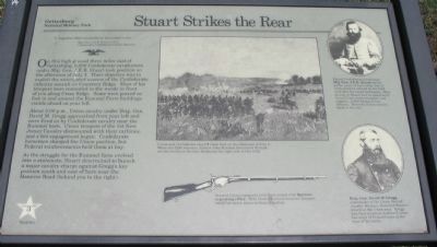
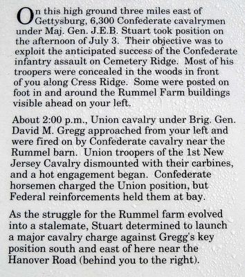
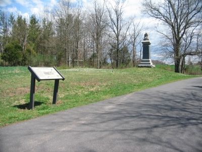
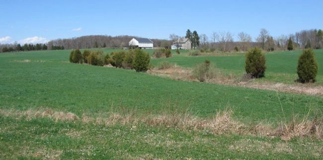
On this high ground three miles east of Gettysburg, 6,300 Confederate cavalrymen under Maj. Gen. J.E.B. Stuart took position on the afternoon of July 3. Their objective was to exploit the anticipated success of the Confederate infantry assault on Cemetery Ridge. Most of his troopers were concealed in the woods in front of you along Cress Ridge. Some were posted on foot in and around the Rummel Farm buildings visible ahead on your left.
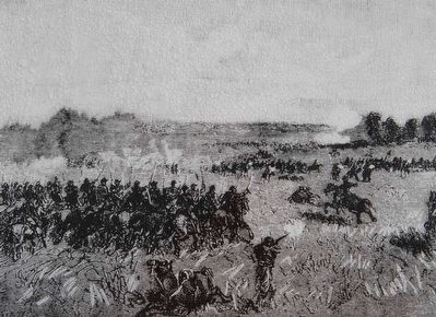
About 2:00 p.m., Union cavalry under Brig. Gen. David M. Gregg approached from your left and were fired on by Confederate cavalry near the Rummel barn. Union troopers of the 1st New Jersey Cavalry dismounted with their carbines, and a hot engagement began. Confederate horsemen charged the Union position, but Federal reinforcements held them at bay.
As the struggle for the Rummel farm evolved into a stalemate, Stuart determined to launch a major cavalry charge against Gregg's key position south and east of here near the Hanover Road (behind you to the right).
Erected by Gettysburg National Military Park.
Topics. This historical marker is listed in this topic list: War, US Civil. A significant historical date for this entry is July 3, 1863.
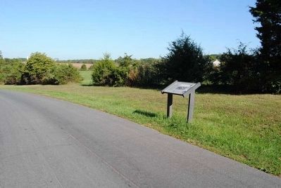
Location. Marker has been reported permanently removed. It was located near 39° 49.727′ N, 77° 10.211′ W. Marker was near Gettysburg, Pennsylvania, in Adams County. It was in Mount Pleasant Township. Marker was on Cavalry Field Road (Gregg Avenue), on the right when traveling west. Located in the East Cavalry Battlefield section of the Gettysburg National Military Park. Touch for map. Marker was in this post office area: Gettysburg PA 17325, United States of America.
We have been informed that this sign or monument is no longer there and will not be replaced. This page is an archival view of what was.
Other nearby markers. At least 10 other markers are within walking distance of this location. Braving the Firestorm (here, next to this marker); First New Jersey Cavalry (a few steps from this marker); The Brook Rawle Memorial Flagpole (approx. 0.2 miles away); Second Brigade (approx. 0.3 miles away); Come on You Wolverines (approx. 0.3 miles away); Michigan Cavalry Brigade (approx. 0.3 miles away); Co. A Purnell Legion (approx. 0.3 miles away); Chambliss's Brigade (approx. 0.3 miles away); Captain Thomas E. Jackson's Battery (approx. 0.4 miles away); Second Division (approx. 0.4 miles away). Touch for a list and map of all markers in Gettysburg.
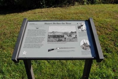
More about this marker. In the upper center is a drawing showing Union and Confederate cavalry clash here on the afternoon of July 3. When the fight was over, farmer John Rummel discovered 30 dead cavalry horses in the lane bordering the right side of this field.
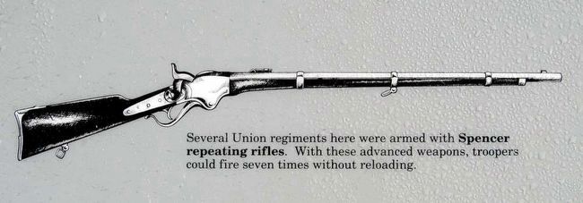
In the lower center is an illustration of a Spencer rifle: Several Union regiments here were armed with Spencer repeating rifles. With these advanced weapons, troopers could fire seven times without reloading.
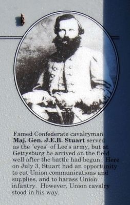
On the upper right is a portrait of Famed Confederate cavalryman Maj. Gen. J.E.B. Stuart served as the "eyes" of Lee's army, but at Gettysburg he arrived on the field well after the battle had begun. Here on July 3, Stuart had an opportunity to cut Union communications and supplies, and to harass Union infantry. However Union cavalry stood in his way.
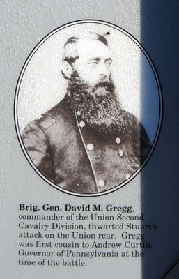
Below that is another portrait of Brig. Gen. David M. Gregg, commander of the Union Second Cavalry Division, thwarted Stuart's attack on the Union rear. Gregg was first cousin to Andrew Curtin, Governor of Pennsylvania at the time of the battle.
Credits. This page was last revised on February 7, 2023. It was originally submitted on July 20, 2008, by Craig Swain of Leesburg, Virginia. This page has been viewed 1,396 times since then and 36 times this year. Photos: 1. submitted on July 20, 2008, by Craig Swain of Leesburg, Virginia. 2, 3, 4, 5, 6, 7, 8. submitted on November 30, 2015, by Brian Scott of Anderson, South Carolina. 9. submitted on July 20, 2008, by Craig Swain of Leesburg, Virginia. 10. submitted on November 30, 2015, by Brian Scott of Anderson, South Carolina. 11. submitted on July 20, 2008, by Craig Swain of Leesburg, Virginia.
