Conneaut in Ashtabula County, Ohio — The American Midwest (Great Lakes)
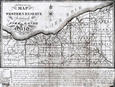
The Western Reserve
Northeast Boundary
— One of a Series of Four —
Inscription.
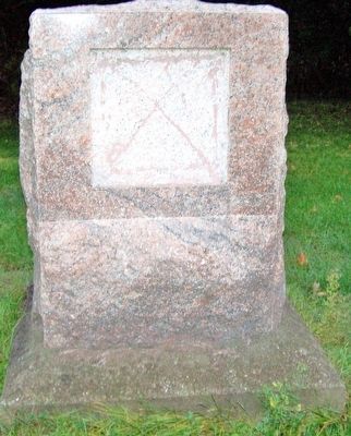
The Western Reserve
Northeast Boundary Marker
of the Connecticut Western Reserve
conveyed to the United States, September 11, 1786
erected by
the Early Settlers Association
of the Western Reserve, Cleveland, Ohio
July 3, 1966
Early Settlers Association
Joseph A. Holser, president
Clay Herrick, Horace Kerr, George Seedhouse
marker committee
David L. Weir Ashtabula County Engineer
Erected 1966 by Early Settlers Association David L. Weir Ashtabula County Engineer.
Topics. This historical marker is listed in these topic lists: Colonial Era • Settlements & Settlers • War, US Revolutionary. A significant historical date for this entry is September 11, 1786.
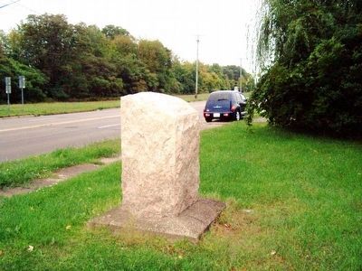
Location. 41° 56.597′ N, 80° 31.296′ W. Marker is in Conneaut, Ohio, in Ashtabula County. Marker is on East Main Road (U.S. 20), on the right when traveling east. Marker is just west of the Pennsylvania State Line. Touch for map. Marker is at or near this postal address: 541 East Main Road, Conneaut OH 44030, United States of America. Touch for directions.
Other nearby markers. At least 8 other markers are within 2 miles of this marker, measured as the crow flies. Conneaut Viaduct (approx. 1.6 miles away); Remembering Our Fallen Heroes (approx. 1.7 miles away); a different marker also named Western Reserve (approx. 1.8 miles away); Veterans Memorial (approx. 1.8 miles away); Conneaut Veterans Memorial (approx. 1.8 miles away); PA-OH Border Monument (approx. 1.9 miles away); Nickel Plate Road Berkshire Locomotive No. 755 (approx. 1.9 miles away); Old Time Ball Signal (approx. 1.9 miles away). Touch for a list and map of all markers in Conneaut.
More about this marker. Marker has been vandalized. It was similar to
http://www.hmdb.org/marker.asp?marker=31727
Additional keywords. Connecticut Western Reserve
Credits. This page was last revised on June 16, 2016. It was originally submitted on May 20, 2016, by Rev. Ronald Irick of West Liberty, Ohio. This page has been viewed 689 times since then and 36 times this year. Last updated on May 22, 2016, by Randy Winland of Prospect, Ohio. Photos: 1, 2, 3. submitted on May 20, 2016, by Rev. Ronald Irick of West Liberty, Ohio. • Bill Pfingsten was the editor who published this page.


