Jamestown in Chautauqua County, New York — The American Northeast (Mid-Atlantic)
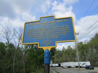
Jamestown Shale Paving Brick Co.
ca 1893 - ca 1935
ca 1893 - ca 1935
Erected 2009 by Jamestown Historical Marker Committee.
Topics. This historical marker is listed in these topic lists: Industry & Commerce • Roads & Vehicles. A significant historical year for this entry is 1893.
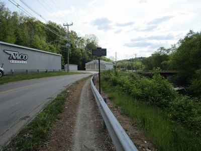
Location. 42° 6.264′ N, 79° 13.237′ W. Marker is in Jamestown, New York, in Chautauqua County. Marker is on Allen Street, 0.2 miles north of Barrows Street, on the left when traveling north. Touch for map. Marker is at or near this postal address: 850 Allen Street, Jamestown NY 14701, United States of America. Touch for directions.
Other nearby markers. At least 8 other markers are within walking distance of this marker. Dahlstrom Metallic Door Company (approx. ¼ mile away); Dexterville Tavern (approx. ¼ mile away); Roger Tory Peterson (approx. half a mile away); First Sash Factory (approx. 0.6 miles away); Site of Pail Factory (approx. 0.6 miles away); 212 Van Buren Street (approx. ¾ mile away); 629 Winsor Street (approx. 0.8 miles away); 28 Liberty Street (approx. 0.8 miles away). Touch for a list and map of all markers in Jamestown.
Credits. This page was last revised on June 16, 2016. It was originally submitted on May 23, 2016, by Anton Schwarzmueller of Wilson, New York. This page has been viewed 619 times since then and 38 times this year. Photos: 1, 2. submitted on May 23, 2016, by Anton Schwarzmueller of Wilson, New York.

