Sedona in Coconino County, Arizona — The American Mountains (Southwest)
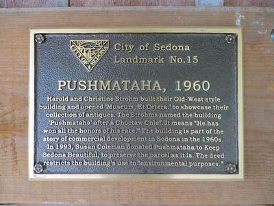
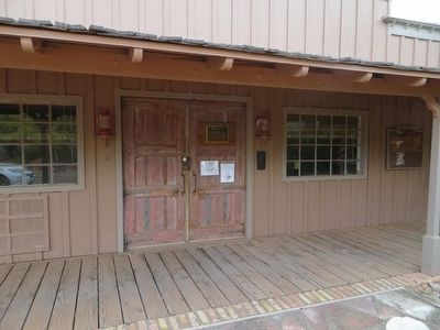
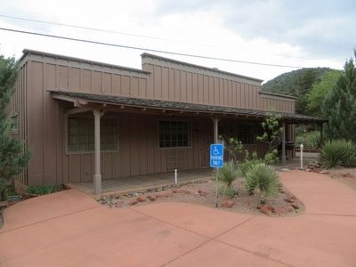
Pushmataha, 1960
City of Sedona Landmark No. 15
Erected by City of Sedona. (Marker Number 15.)
Topics. This historical marker is listed in this topic list: Notable Buildings. A significant historical year for this entry is 1993.
Location. 34° 51.64′ N, 111° 46.019′ W. Marker is in Sedona, Arizona, in Coconino County. Marker can be reached from the intersection of Brewer Road and Cypress Lane, on the left when traveling south. Touch for map. Marker is at or near this postal address: 360 Brewer Road, Sedona AZ 86336, United States of America. Touch for directions.
Other nearby markers. At least 8 other markers are within walking distance of this marker. USFS Range House (approx. 0.2 miles away); The Hart Store, 1926 (approx. ¼ mile away); Hart Pump House (approx. 0.3 miles away); Sedona Heritage Museum (approx. half a mile away); Little Horse Park/Chapel of the Holy Cross (approx. half a mile away); Sedona Historical Society (approx. half a mile away); Early Tourism (approx. half a mile away); John Wayne & His Sedona Connection (approx. half a mile away). Touch for a list and map of all markers in Sedona.
Credits. This page was last revised on April 19, 2018. It was originally submitted on May 24, 2016, by Bill Kirchner of Tucson, Arizona. This page has been viewed 476 times since then and 28 times this year. Photos: 1, 2, 3. submitted on May 24, 2016, by Bill Kirchner of Tucson, Arizona.


