Dearborn in Wayne County, Michigan — The American Midwest (Great Lakes)
Out in the Orchard
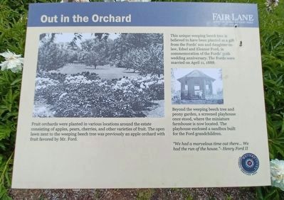
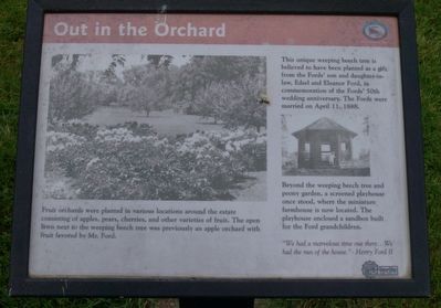
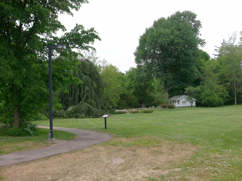
Fruit orchards were planted in various locations around the estate consisting of apples, pears, cherries, and other varieties of fruit. The open lawn next to the weeping beech tree was previously an apple orchard with fruit favored by Mr. Ford.
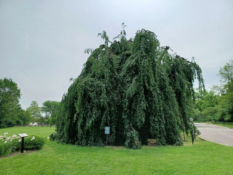
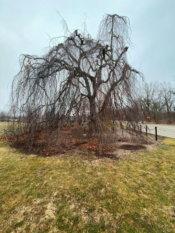
This unique weeping beech tree is believed to have been planted as a gift from the Fords' son and daughter-in-law, Edsel and Eleanor Ford, in commemoration of the Fords' 50th wedding anniversary. The Fords were married on April 11, 1888.
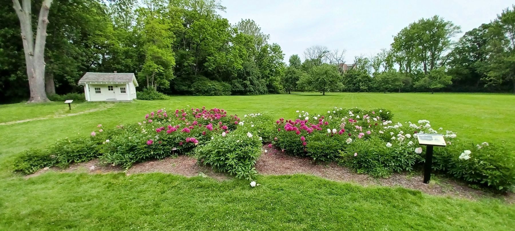
Beyond the weeping beech tree and peony garden, a screened playhouse once stood, where the miniature farmhouse is now located. The playhouse enclosed a sandbox built for the Ford grandchildren.
"We had a marvelous time out there...We had the run of the house." - Henry Ford II
Erected by Fair Lane and MotorCities National Heritage Area.
Topics and series. This historical marker is listed in this topic list: Agriculture. In addition, it is included in the MotorCities National Heritage Area series list. A significant historical date for this entry is April 11, 1888.
Location. 42° 18.873′ N, 83° 13.904′ W. Marker is in Dearborn, Michigan, in Wayne County. Marker is on Fair Lane Drive, 0.3 miles west of Evergreen Road, on the right when traveling east . This marker is found on the grounds of the Henry Ford Estate, Fair Lane, near the parking lot. Touch for map. Marker is at or near this postal address: 1 Fair Lane Drive, Dearborn MI 48128, United States of America. Touch for directions.
Other nearby markers. At least 8 other markers are within walking distance of this marker. From State Fair to Fair Lane/Peony Garden (a few steps from this marker); Fair Lane (within shouting distance of this marker); a different marker also named Fair Lane (within shouting distance of this marker); Preserving Fair Lane — An Iconic American Estate (within shouting distance of this marker); From Farmland to Great Estate (within shouting distance of this marker); What Happened to the Lilacs? (about 300 feet away, measured in a direct line); a different marker also named Preserving Fair Lane — An Iconic American Estate (about 300 feet away); A Trail Garden (about 300 feet away). Touch for a list and map of all markers in Dearborn.
Additional commentary.
1. New marker
In 2022, the new marker, with the same text and images, replaced the old one that was erected by Henry Ford Estate and MotorCities National Heritage Area. This marker was also moved about 90 feet to the northwest, from near the parking lot into the peony garden.
— Submitted August 10, 2022, by Joel Seewald of Madison Heights, Michigan.
Credits. This page was last revised on March 3, 2023. It was originally submitted on July 29, 2016, by Joel Seewald of Madison Heights, Michigan. This page has been viewed 366 times since then and 18 times this year. Photos: 1, 2, 3. submitted on August 10, 2022, by Joel Seewald of Madison Heights, Michigan. 4. submitted on March 3, 2023, by J.T. Lambrou of New Boston, Michigan. 5, 6. submitted on July 29, 2016, by Joel Seewald of Madison Heights, Michigan.
