Carlisle in Lonoke County, Arkansas — The American South (West South Central)
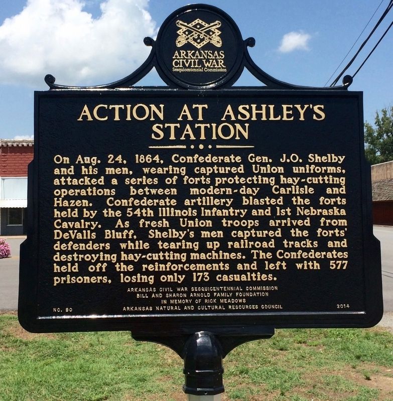
Action at Ashley's Station
Erected 2014 by Arkansas Civil War Sesquicentennial Commission, Bill and Sharon Arnold Family Foundation, In Memory of Rick Meadows, Arkansas Natural and Cultural Resources Council. (Marker Number 90.)
Topics and series. This historical marker is listed in these topic lists: Forts and Castles • War, US Civil. In addition, it is included in the Arkansas Civil War Sesquicentennial Commission series list. A significant historical date for this entry is August 24, 1864.
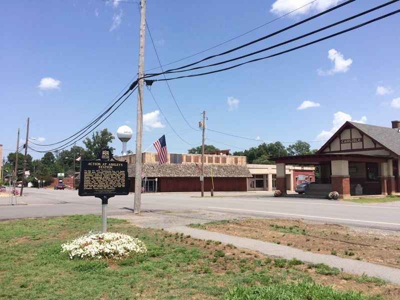
Location. 34° 46.954′ N, 91° 44.808′ W. Marker is in Carlisle, Arkansas, in Lonoke County. Marker is at the intersection of South Court Street and West Durkee Street, on the right when traveling south on South Court Street. Touch for map . Marker is at or near this postal address: South Court Street, Carlisle AR 72024, United States of America. Touch for directions.
Other nearby markers. At least 8 other markers are within 9 miles of this marker, measured as the crow flies. William H. Fuller (approx. ¼ mile away); Hicks' Station in the Civil War (approx. 7.2 miles away); Battle of Brownsville (approx. 7.9 miles away); The Little Rock Campaign - Brownsville (approx. 7.9 miles away); Eberts Air Field (approx. 8.6 miles away); A Gun for All Reasons (approx. 8.7 miles away); Senator Joe T. Robinson (approx. 8.7 miles away); Lonoke County Confederate Monument (approx. 8.7 miles away).
Also see . . . Encyclopedia of Arkansas article on the Action at Ashley's Station. (Submitted on August 3, 2016, by Mark Hilton of Montgomery, Alabama.)
Credits. This page was last revised on October 22, 2020. It was originally submitted on August 3, 2016, by Mark Hilton of Montgomery, Alabama. This page has been viewed 734 times since then and 45 times this year. Photos: 1, 2, 3. submitted on August 3, 2016, by Mark Hilton of Montgomery, Alabama.


