Caldwell in Sumner County, Kansas — The American Midwest (Upper Plains)
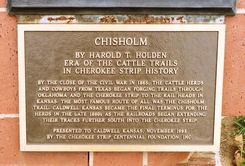
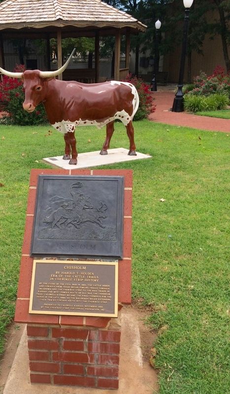
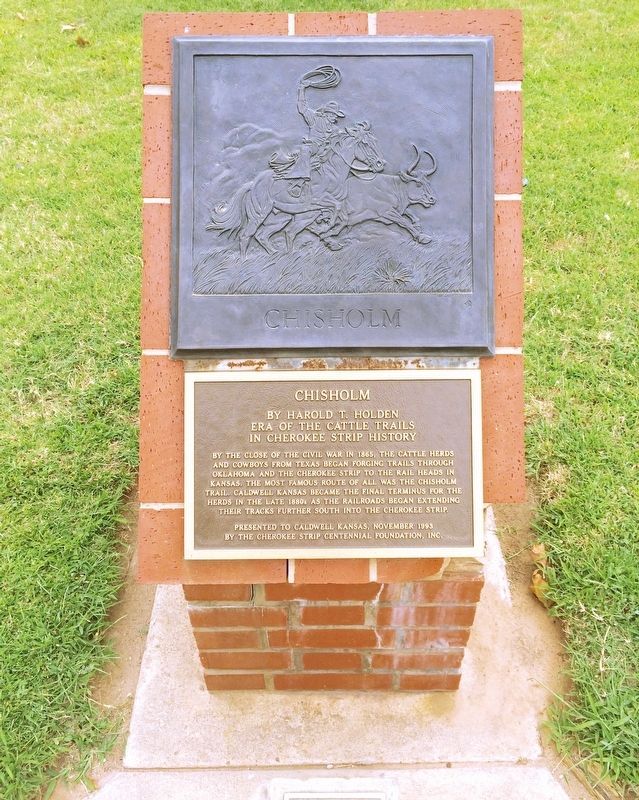
Chisholm
Era of the Cattle Trails in Cherokee Strip History
— Sculpture: by Harold T. Holden —
Erected 1993 by the Cherokee Strip Centennial Foundation, Inc.
Topics. This historical marker is listed in these topic lists: Notable Events • Notable Places • Railroads & Streetcars. A significant historical year for this entry is 1865.
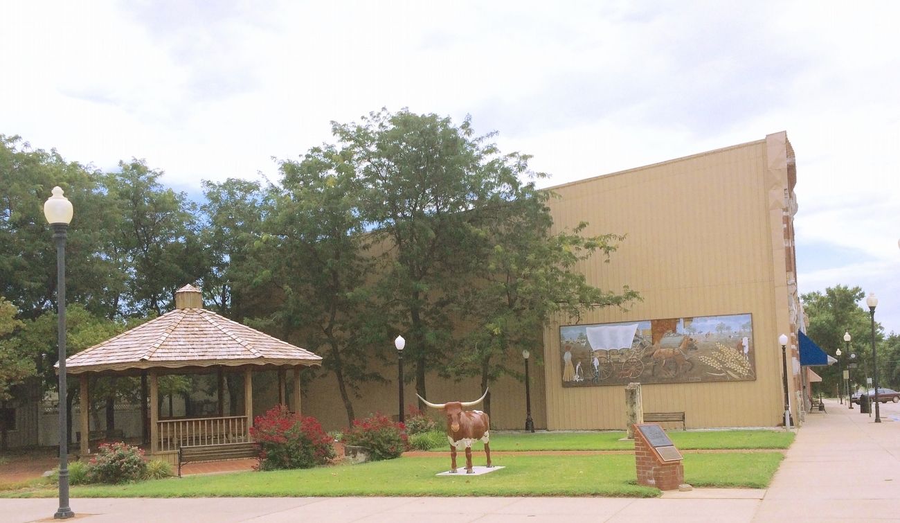
Location. 37° 1.879′ N, 97° 36.405′ W. Marker is in Caldwell, Kansas, in Sumner County. Marker is at the intersection of South Main Street (U.S. 81) and East 1st Avenue, on the left when traveling south on South Main Street. Touch for map. Marker is at or near this postal address: 102 South Main Street, Caldwell KS 67022, United States of America. Touch for directions.
Other nearby markers. At least 8 other markers are within walking distance of this marker. Chisholm Trail (a few steps from this marker); Caldwell "The Border Queen" / On This Site (a few steps from this marker); Native Stone Building (within shouting distance of this marker); The Stock Exchange Bank (within shouting distance of this marker); The Railroad Influence (within shouting distance of this marker); The Leland Hotel (within shouting distance of this marker); The Legend of Mount Lookout / Gunfire Kills Lawman (about 300 feet away, measured in a direct line); The Grand Opera House (about 300 feet away). Touch for a list and map of all markers in Caldwell.
Also see . . . Wikipedia article on the Chisholm Trail. (Submitted on August 8, 2016, by Mark Hilton of Montgomery, Alabama.)
Credits. This page was last revised on August 8, 2016. It was originally submitted on August 8, 2016, by Mark Hilton of Montgomery, Alabama. This page has been viewed 348 times since then and 13 times this year. Photos: 1, 2, 3, 4. submitted on August 8, 2016, by Mark Hilton of Montgomery, Alabama.


