Thermopolis in Hot Springs County, Wyoming — The American West (Mountains)
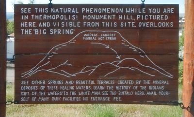
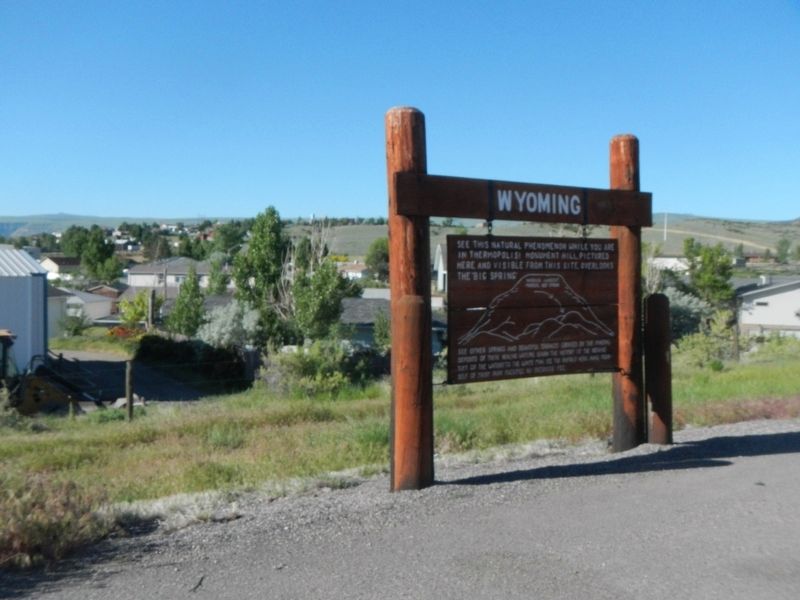
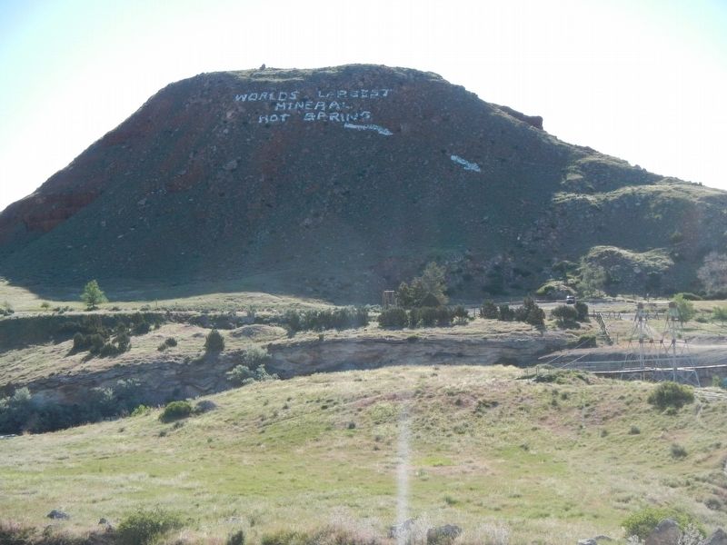
World's Largest Mineral Hot Springs
(map with arrows and diagram)
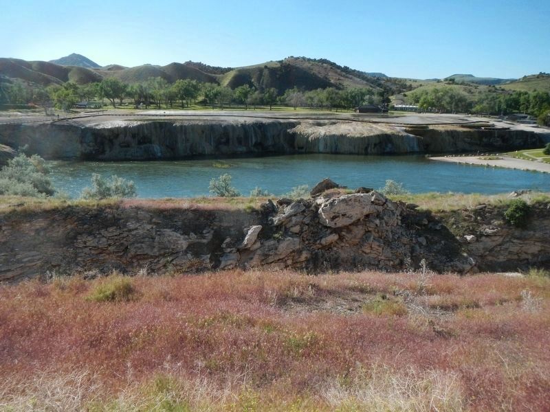
See other springs and beautiful terraces created by the mineral deposits of these healing waters. Learn the history of the Indians 'Gift of the Waters' to the White man. See large Buffalo herd. Avail yourself of many Park facilities. No Entrance Fee.
Topics. This historical marker is listed in these topic lists: Entertainment • Natural Features.
Location. 43° 38.724′ N, 108° 13.788′ W. Marker is in Thermopolis, Wyoming, in Hot Springs County. Marker is on State Highway 120 near Fremont Street. Touch for map. Marker is at or near this postal address: 111 Wyoming Highway 120, Thermopolis WY 82443, United States of America. Touch for directions.
Other nearby markers. At least 8 other markers are within 2 miles of this marker, measured as the crow flies. Broad Streets of Thermopiles (approx. 0.8 miles away); Thermopolis Downtown Historic District (approx. 0.9 miles away); The Plaza Hotel (approx. 1˝ miles away); Bah Guewana (approx. 1˝ miles away); Tepee Fountain (approx. 1.6 miles away); Walter Manly Haynes (approx. 1.6 miles away); Hot Springs State Park (approx. 1.8 miles away); Ancient Red Rocks (approx. 1.8 miles away). Touch for a list and map of all markers in Thermopolis.
Credits. This page was last revised on September 13, 2016. It was originally submitted on September 13, 2016, by Barry Swackhamer of Brentwood, California. This page has been viewed 419 times since then and 37 times this year. Photos: 1, 2, 3, 4. submitted on September 13, 2016, by Barry Swackhamer of Brentwood, California.


