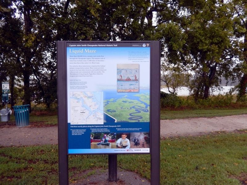
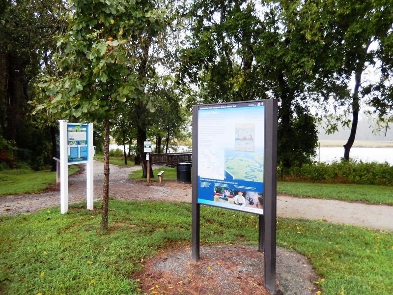
Liquid Maze
Captain John Smith Chesapeake National Historic Trail
— National Park Service, U.S. Department of the Interior —
For centuries, these watercourses comprised the Indians’ primary transportation system. Water routes provided access to food and other resources, and enabled dispersed tribes to trade and communicate with one another. The Warraskoyack living along the Pagan River fished for sturgeon and striped bass near here.
(Inscriptions above the image in the lower left)
Explore the Pagan River-Upper portions of the Pagan River appear much as they did when the Warraskoyack Indians and John Smith traveled here.
You can fish or paddle on two Pagan River tributaries—Jones Creek and Cypress Creek. Jones Creek has a public boat launch.
The mildnesse of the aire…and the situation of the rivers are so propitious to the nature and use of man as no place is more convenient for pleasure, profit and man’s sustenance.”
–Captain John Smith, A Map of Virginia, 1612.
Visit these nearby places along the Captain John Smith Chesapeake NHT:
*The Isle of Wight County Museum’s exhibits include prehistoric fossils, Indian and colonial artifacts, a country store, and the world’s oldest edible cured ham.
*Experience Civil War history through reenactments and other special events and programs at Forts Boykin and Huger.
Erected by National Park Service, U.S. Department of the Interior.
Topics and series. This historical marker is listed in these topic lists: Colonial Era • Exploration • Settlements & Settlers. In addition, it is included in the Captain John Smith Chesapeake National Historic Trail series list. A significant historical year for this entry is 1612.
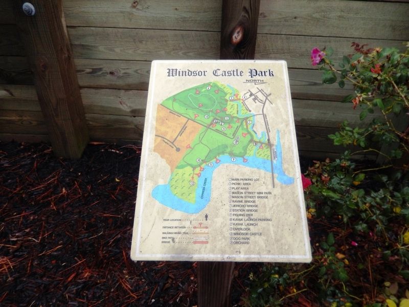
Location. 36° 58.529′ N, 76° 37.302′ W. Marker is in Smithfield, Virginia, in Isle of Wight County. Marker is on Jericho Road. The marker is located in Windsor Castle Park near the Kayak Launch. Touch for map. Marker is in this post office area: Smithfield VA 23430, United States of America. Touch for directions.
Other nearby markers. At least 8 other markers are within walking distance of this marker. Smokehouse (approx. ¼ mile away); Welcome to Windsor Castle Park (approx. ¼ mile away); Farm Manager's Office (approx. ¼ mile away); Kitchen and Laundry (approx. ¼ mile away); History of Longleaf Pine in Virginia (approx. 0.3 miles away); Joseph W. Luter, III (approx. 0.3 miles away); Smithfield (approx. half a mile away); The Todd House & the First Smithfield Ham (approx. 0.7 miles away). Touch for a list and map of all markers in Smithfield.
Credits. This page was last revised on June 12, 2020. It was originally submitted on September 28, 2016, by Don Morfe of Baltimore, Maryland. This page has been viewed 463 times since then and 30 times this year. Photos: 1, 2, 3, 4, 5, 6. submitted on September 28, 2016, by Don Morfe of Baltimore, Maryland. • Bill Pfingsten was the editor who published this page.
