Near Frankfort in Benzie County, Michigan — The American Midwest (Great Lakes)
Oil House
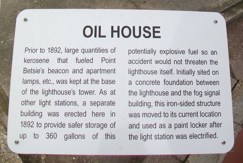
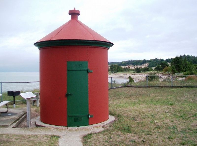
Prior to 1892, large quantities of kerosene that fueled Point Betsie's beacon and apartment lamps, etc., was kept at the base of the lighthouses tower. As at other light stations, a separate building was erected here in 1892 to provide safer storage of up to 360 gallons of this potentially explosive fuel so an accident would not threaten the lighthouse itself. Initially sited on a concrete foundation between the lighthouse and the fog signal building, this iron-sided structure was moved to its current location and used as a paint locker after the light station was electrified.
Erected by The Friends of Point Betsie Lighthouse.
Topics and series. This historical marker is listed in these topic lists: Communications • Waterways & Vessels. In addition, it is included in the Lighthouses series list. A significant historical year for this entry is 1892.
Location. 44° 41.499′ N, 86° 15.286′ W. Marker is near Frankfort, Michigan, in Benzie County. The Oil House and marker are on the Point Betsie Lighthouse grounds. Touch for map. Marker is at or near this postal address: 3701 Point Betsie Road, Frankfort MI 49635, United States of America. Touch for directions.
Other nearby markers. At least 8 other markers are within 10 miles of this marker, measured as the crow flies. Fog Signal Building (a few steps from this marker); Gravestone at Point Betsie (within shouting distance of this marker); First Congregational Church (approx. 4.1 miles away); War Memorial (approx. 4.1 miles away); Marquette's Death (approx. 4.2 miles away); Crystal Lake (approx. 8.9 miles away); Mills Community House (approx. 9.2 miles away); Bruce Catton (approx. 9.2 miles away). Touch for a list and map of all markers in Frankfort.
Also see . . . Point Betsie Lighthouse. Lighthouse website homepage (Submitted on October 1, 2016, by William Fischer, Jr. of Scranton, Pennsylvania.)
Credits. This page was last revised on January 17, 2022. It was originally submitted on October 1, 2016, by William Fischer, Jr. of Scranton, Pennsylvania. This page has been viewed 357 times since then and 12 times this year. Photos: 1, 2. submitted on October 1, 2016, by William Fischer, Jr. of Scranton, Pennsylvania.

