Near Qualla in Haywood County, North Carolina — The American South (South Atlantic)
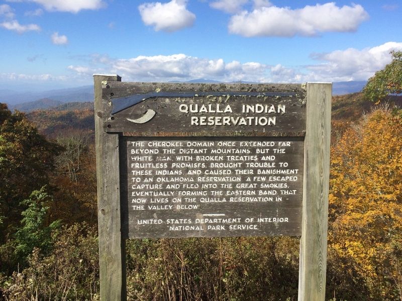
Qualla Indian Reservation
Erected 1975 by United States Department of the Interior National Park Service.
Topics. This historical marker is listed in this topic list: Native Americans.
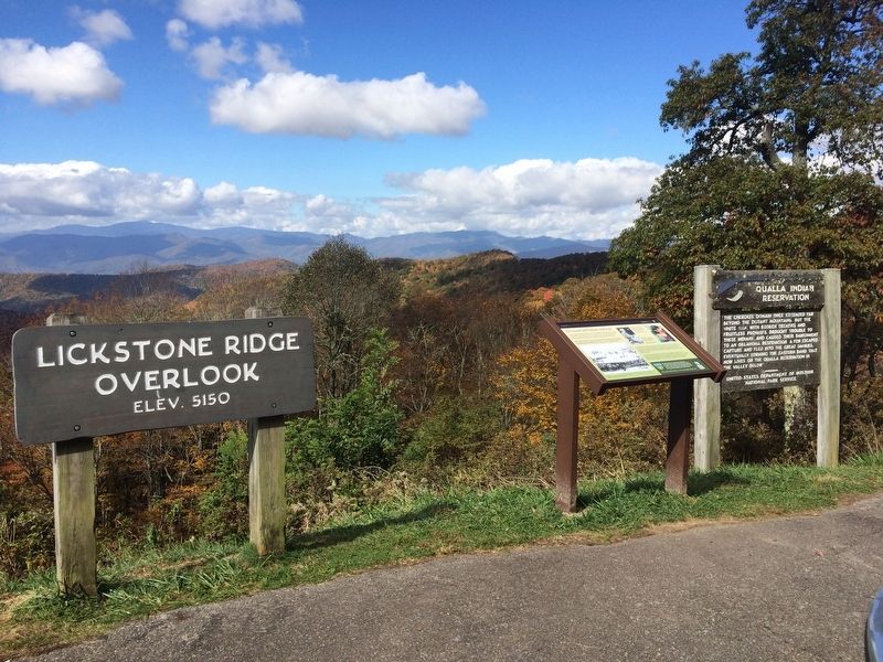
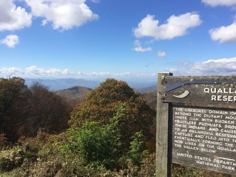
Location. 35° 30.577′ N, 83° 11.332′ W. Marker is near Qualla, North Carolina, in Haywood County. Marker is on Blue Ridge Parkway (at milepost 458.9), on the right when traveling south. Located at the Lickstone Overlook of the Blue Ridge Parkway. Touch for map. Marker is at or near this postal address: Blue Ridge Parkway, Cherokee NC 28719, United States of America. Touch for directions.
Other nearby markers. At least 8 other markers are within 6 miles of this marker, measured as the crow flies. An Ancient and Settled Landscape (here, next to this marker); Plott Balsam (approx. 0.8 miles away); The Masonic Marker (approx. 2 miles away); Qualla Boundary (approx. 2.1 miles away); Browning Knob (approx. 4˝ miles away); Kirk's Raid (approx. 4.7 miles away); Keener Craft Shop (approx. 5.6 miles away); Echota Mission (approx. 5.6 miles away).
Also see . . .
1. Wikipedia article on the Qualla Indian Reservation (the Qualla Boundary). (Submitted on October 21, 2016, by Mark Hilton of Montgomery, Alabama.)
2. Wikipedia article on the Eastern Band of Cherokee Indians. (Submitted on October 21, 2016, by Mark Hilton of Montgomery, Alabama.)
Credits. This page was last revised on October 23, 2016. It was originally submitted on October 21, 2016, by Mark Hilton of Montgomery, Alabama. This page has been viewed 608 times since then and 54 times this year. Photos: 1, 2, 3. submitted on October 21, 2016, by Mark Hilton of Montgomery, Alabama.


