Downtown in Pittsburgh in Allegheny County, Pennsylvania — The American Northeast (Mid-Atlantic)
Wall Section Through Rampart of Fort Pitt
Inscription.
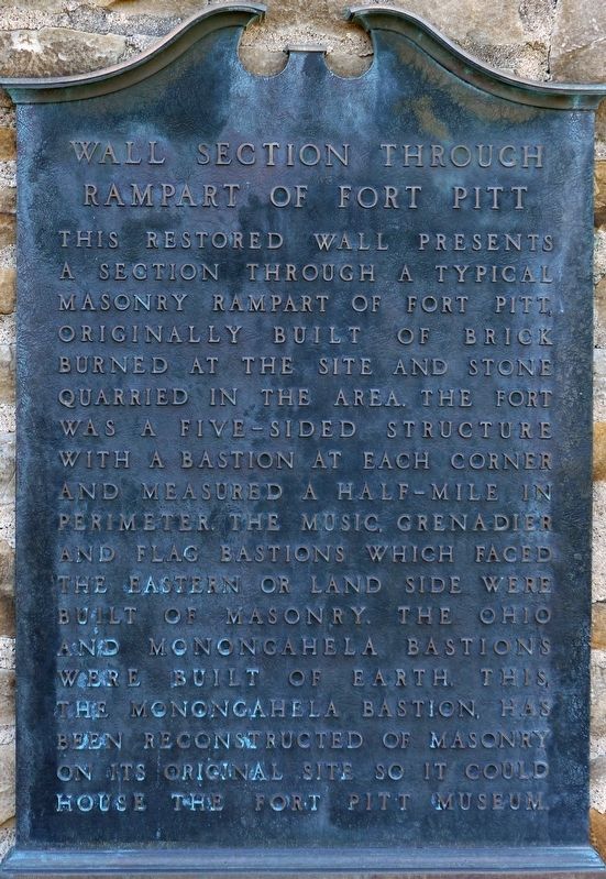
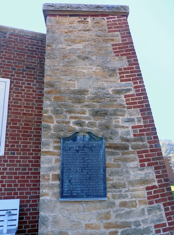
This restored wall presents a section through a typical masonry rampart of Fort Pitt. Originally built of brick burned at the site and stone quarried in the area. The fort was a five-sided structure with a bastion at each corner and measured a half-mile in perimeter. The music, grenadier and flag bastions which faced the eastern or land side were built of masonry. The Ohio and Monongahela bastions were built of earth. This, the Monongahela bastion, has been reconstructed of masonry on its original site so it could house the Fort Pitt Museum.
Topics. This historical marker is listed in these topic lists: Forts and Castles • War, French and Indian • War, US Revolutionary.
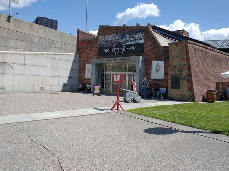
Location. 40° 26.46′ N, 80° 0.569′ W. Marker is in Pittsburgh, Pennsylvania, in Allegheny County. It is in Downtown. Marker is on Three Rivers Heritage Trail. Along the Three River Heritage Trail near the entrance to the Fort Pitt Museum in Point State Park. Touch for map. Marker is in this post office area: Pittsburgh PA 15219, United States of America. Touch for directions.
Other nearby markers. At least 8 other markers are within walking distance of this marker. Forks of the Ohio Fort Pitt Blockhouse (a few steps from this marker); Edith Darlington Ammon (within shouting distance of this marker); The Site of Fort Pitt (within shouting distance of this marker); The Venango Path (within shouting distance of this marker); Welcome to Point State Park (about 300 feet away, measured in a direct line); a different marker also named Welcome to Point State Park (about 300 feet away); The King's Garden (about 300 feet away); The Forks of the Ohio (about 300 feet away). Touch for a list and map of all markers in Pittsburgh.
Credits. This page was last revised on February 2, 2023. It was originally submitted on October 23, 2016, by Allen C. Browne of Silver Spring, Maryland. This page has been viewed 586 times since then and 22 times this year. Photos: 1, 2. submitted on October 23, 2016, by Allen C. Browne of Silver Spring, Maryland. 3. submitted on July 8, 2021, by Craig Doda of Napoleon, Ohio. • Bill Pfingsten was the editor who published this page.


