Chalmette in St. Bernard Parish, Louisiana — The American South (West South Central)
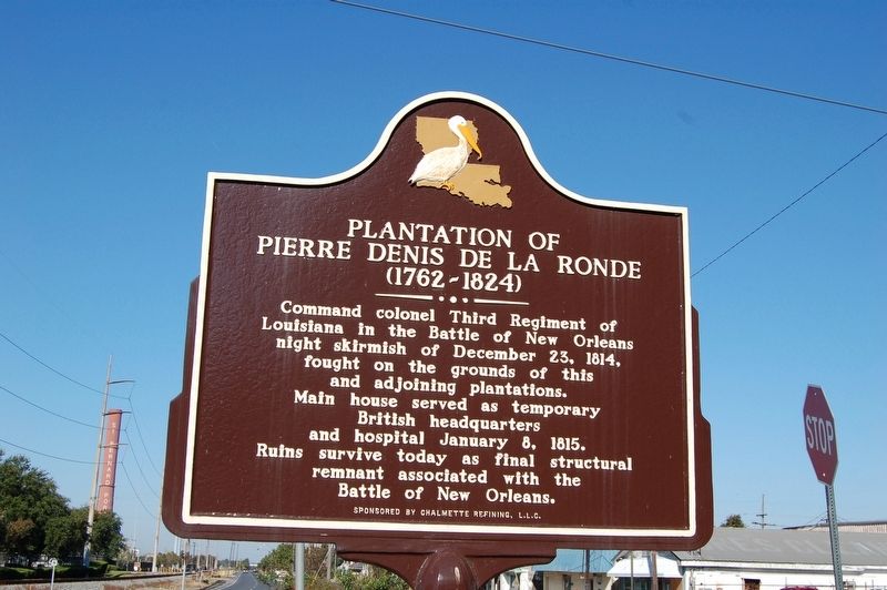
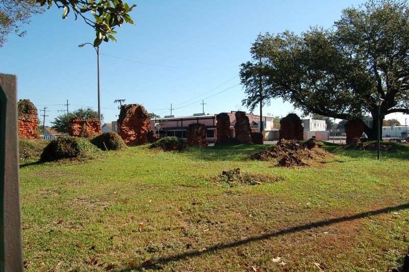
Plantation of Pierre Denis De La Ronde
(1762-1824)
Erected by Chalmette Refining, L.L.C.
Topics. This historical marker is listed in these topic lists: Agriculture • Settlements & Settlers • War of 1812.
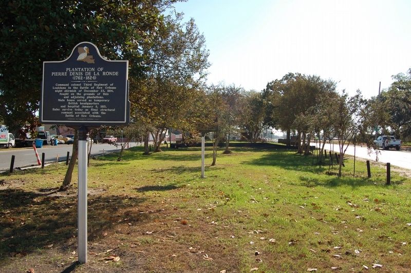
Location. 29° 56.268′ N, 89° 58.095′ W. Marker is in Chalmette, Louisiana, in St. Bernard Parish. Marker is on West Saint Bernard Highway (State Highway 46) near Fenelon Street, in the median. Touch for map. Marker is at or near this postal address: 500 West St Bernard Highway, Chalmette LA 70043, United States of America. Touch for directions.
Other nearby markers. At least 8 other markers are within 2 miles of this marker, measured as the crow flies. The Chalmette Plantations (a few steps from this marker); Denis de La Ronde Site (within shouting distance of this marker); Versailles Oaks (about 300 feet away, measured in a direct line); Lacoste Plantation (approx. 0.8 miles away); Chalmette Plantation (approx. 1.2 miles away); Serving Those Who Saved Us (approx. 1.2 miles away); Here We Honor Veterans Who Served Their Country (approx. 1.2 miles away); Chalmette National Cemetery (approx. 1.2 miles away). Touch for a list and map of all markers in Chalmette.
Credits. This page was last revised on January 2, 2023. It was originally submitted on November 1, 2016. This page has been viewed 855 times since then and 58 times this year. Photos: 1, 2. submitted on November 1, 2016. 3. submitted on November 1, 2016, by Cajun Scrambler of Assumption, Louisiana.


