Established in 1720, Havre Saint
Pierre was once the largest
settlement in the colony of Isle Saint
Jean. On a summer day in the 1730s
this was a busy place. Here - a fleet
of tiny shallops, sails snapping as
they set out for the . . . — — Map (db m139397) HM
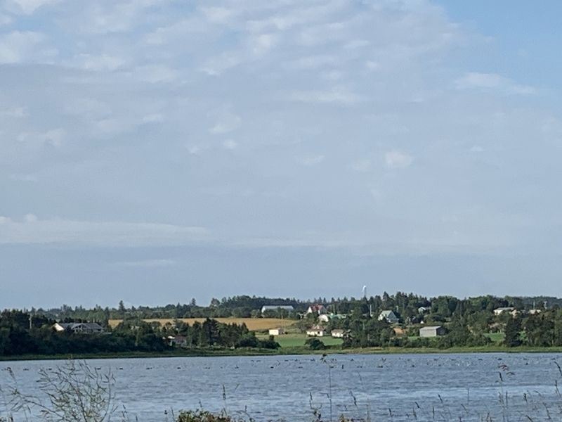
The bottom of the bay is like a giant compost bin. Seaweed and shellfish collect here when they
die, and form a thick, black mud. The decomposing shells create high lime content, making "mussel
mud” a perfect fertilizer for the . . . — — Map (db m139444) HM
Early British settlers were more
interested in farming than in
fishing. By the early 1800s, a small
village began to grow farther
inland. Here the bay was narrow
and easily crossed - first by ferry,
later by bridge. St. Peters . . . — — Map (db m139407) HM
It is believed that Charles
Sanderson started farming here around 1820. Until the farm was
sold in the early 197os, different
generations of Sandersons cared
for this land. Always mindful of the ever-changing sand dunes, they
helped . . . — — Map (db m139448) HM