7 entries match your criteria.
Related Historical Markers
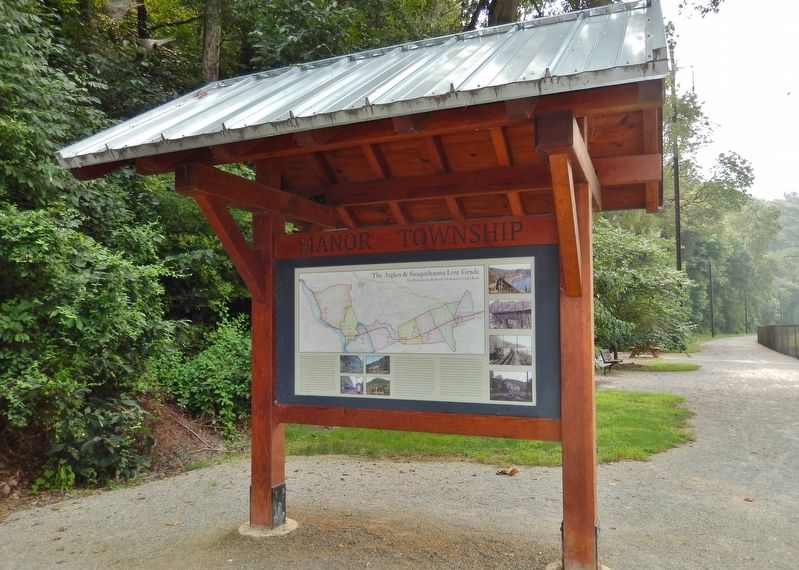
The Atglen & Susquehanna Low Grade
By Cosmos Mariner, August 27, 2018
The Atglen & Susquehanna Low Grade Marker (wide view; Enola Low Grade Rail Trail on right)
SHOWN IN SOURCE-SPECIFIED ORDER
| Near River Road, 0.5 miles south of Anchor Road, on the right when traveling south. |
| | The Atglen & Susquehanna Branch was constructed (1903-1906) by the Pennsylvania Railroad (PRR) as the middle segment of its Low Grade Line, an ambitious through-freight route which extended some 140 miles from Morrisville Yard near Trenton, New . . . — — Map (db m171780) HM |
| Near River Road, 0.5 miles south of Anchor Road, on the right when traveling south. |
| | When construction began in 1903, no other section of the Pennsylvania Railroad's (PRR) A&S Branch likely seemed as improbable as that along the western boundary of Manor Township. There was no existing path sufficient to the purpose of two-track, . . . — — Map (db m160247) HM |
| On Colemanville Church Road, 0.2 miles west of River Road when traveling west. |
| |
Dynamite was essential for expedient construction of the A&S. Rock cliffs on the Susquehanna River were blasted for months to create shelves that carried the rails northward, a lower route for the older Port Road and an upper route for the new . . . — — Map (db m122692) HM |
| On Marticville Road (Pennsylvania Route 324) north of Red Hill Road (County Route 3019), on the right when traveling east. Reported missing. |
| | Finding a strategic location for servicing the freight route was a challenge for the PRR as the A&S headed west over the deep valley of Pequea Creek (upper left image) toward the Susquehanna River. Facilities were created by carving a wider . . . — — Map (db m172375) HM |
| On Georgetown Road (Pennsylvania Route 896) north of Heyberger Road, on the left when traveling north. |
| | Of all the resources required for operation of the A&S, none was more deceptively vital than water. From its inception under steam locomotion, the A&S was quietly sustained by the vast water resources it continually crossed. Previous droughts and . . . — — Map (db m158460) HM |
| On Bushong Road, 0.3 miles south of Valley Road (Pennsylvania Route 372), on the right when traveling south. |
| | Unlike routes that served passengers and local freight customers, the A&S required relatively few staffed facilities. Westward from Atglen, the A&S was desolate, compared to the main line's string of frequent village stops. Constructed after the . . . — — Map (db m171971) HM |
| On Fairview Road, 0.3 miles west of Beaver Valley Pike (U.S. 222), on the left when traveling west. |
| | No other section of the eastern A&S more fully demonstrated the Pennsylvania Railroad's (PRR) commitment to re-shape the landscape for an optimum freight road than its seven miles through Providence Township. The gentle compound curve (on paper) . . . — — Map (db m160853) HM |
Jun. 16, 2024