THE HISTORICAL
MARKER DATABASE
“Bite-Size Bits of Local, National, and Global History”


4 entries match your criteria.  


Related Historical Markers

 
By G.W.Bartlett, May 29, 2026
Thomas Willett 1610-1674 Marker
SHOWN IN SOURCE-SPECIFIED ORDER
1 ► Rhode Island, Providence County, East Providence, Riverside — Thomas Willett 1610-1674 — First Mayor of New York —
On Penrod Avenue 0.1 miles south of Cozzens Street, on the left when traveling south.
Thomas Willett 1610-1674 First Mayor of New York Served 1665 and 1667 ————— Erected by the City Club of New York 1913 — — Map (db m301158) HM
2 ► Rhode Island, Bristol County, Barrington — Osamequin — Great Leader of the Pokanokets —
On Wampanoag Trail (Rhode Island Route 114) at Kyle Circle, on the right when traveling north on Wampanoag Trail.
Osamequin Nature Preserve and Bird Sanctuary is named in honor of the Massasoit (Great Leader) Osamequin (or Ousamequin) of the Pokanoket Tribe. Osamequin, which means Yellow Feather, led his people in helping the settlers of the Plymouth Colony . . . — — Map (db m282075) HM
3 ► Rhode Island, Bristol County, Warren — Burr's Hill — Royal Pokanoket Burial Site — Sowams Heritage Area —
On Water Street south of Haile Street, on the left when traveling south.
The Sowams Heritage Area includes Barrington, Bristol, East Providence, Providence, and Warren RI, and Rehoboth, Seekonk and Swansea, MA. Sowams means "Southern Area” and was the historic home of the Pokanokets (later described as Wampanoags) . . . — — Map (db m296118) HM
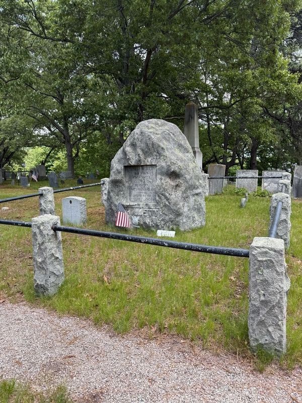
4 ► Massachusetts, Plymouth County, Plymouth — Massasoit —
On Water Street at North Street, on the left when traveling north on Water Street.
Great Sachem of the Wampanoags protector and preserver of the Pilgrims 1621 — — Map (db m299589) HM


CeraNet Cloud Computing sponsors the Historical Marker Database.
This website earns income from purchases you make after using our links to Amazon.com. We appreciate your support.
Paid Advertisement
Nov. 13, 2026
