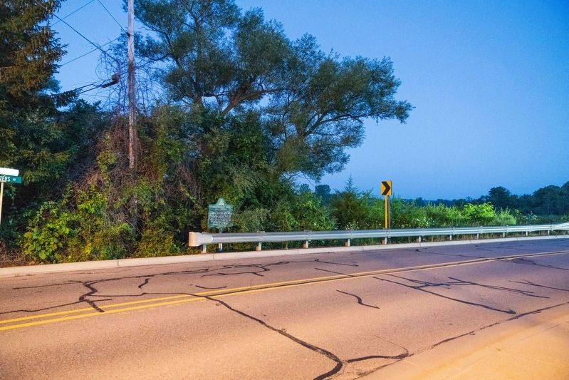
On Peters Road at West Huron Street, on the right when traveling south on Peters Road.
NW of here Luman Fuller built
Milford's first grist mill in 1834.
Shortly after a woolen mill was added
north of the grist mill. Peters' Mill
as it came to be known, housed
Milford's first electric dynamo in 1892.
Both mills were razed in . . . — — Map (db m178323) HM
On North Milford Road north of Detroit Street, on the left when traveling north.
The upper mill pond was created in 1846 by damming Pettibone Creek. A mill race entered the pond beneath the road and powered the woolen and woodworking mills. The race for the grist mill left the pond near the dam at the south end of the pond. . . . — — Map (db m125366) HM
On West Liberty Street 0.1 miles east of Cabinet Street, on the right when traveling east.
Circa 1836, Aaron Phelps, Milford’s first postmaster and the man who platted north Milford, built a saw mill and a distillery here, at the foot of the lower mill pond.
The distillery became a carding mill in 1848, but the other mill, used for . . . — — Map (db m79683) HM
On South Main Street near Water Street, on the right when traveling north.
In 1865 Philip F. and D. Webster Wells moved their foundry, then called the Milford Furnace, from North Main Street to this site after experiencing problems with the water power at the former site (a water power their father had developed). Their . . . — — Map (db m78801) HM