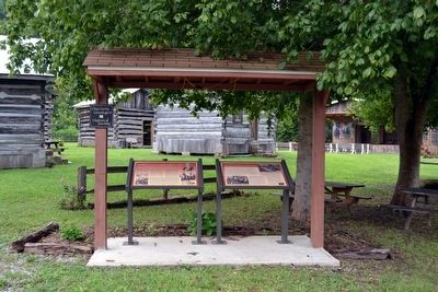
Near Railroad Avenue south of Poplar Street, on the right when traveling south.
Originally this site was probably a salt lick used by buffalo, which made the path to it. Indians used the path to make war between northern and southern tribes. Numerous early American explorers used the path as did hunters, who found animals . . . — — Map (db m87857) HM
Wilderness Road 1775-1795 Wilderness Road crossed Boone Trace here-Laurel County established 1825-London 1836
1775-1795 Boone Trace-Kentucky Sesquicentennial 1792-1942 George Rogers Clark passed this way 1776 to Virginia for help for . . . — — Map (db m73977) HM
On N. Laurel Road (U.S. 25) 0.1 miles south of Hazel Patch Road, on the right when traveling south.
(Side One)
Camp Wildcat
Led by Gen. Felix K. Zollicoffer, 7,500 Confederates on October 21 1861, attacked the entrenched camp of 5,000 Union men under Gen. Albin Schoepf. Union’s natural defense advantage in the Rockcastle Hills . . . — — Map (db m84352) HM
Thin black lines indicate changes in relevance. Between each pair of lines entries are ordered geographically but all have the same relevance.
* Inflectional forms of words are their plurals, singulars, and possessives as well as gramatical tenses and similar variations.