Marker Logo HMdb.org THE HISTORICAL
MARKER DATABASE
“Bite-Size Bits of Local, National, and Global History”


5 entries match your criteria.  


Related Historical Markers

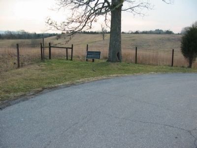
Walker's Division at Antietam.
 
The West Turn of Branch Avenue image, Touch for more information
By Craig Swain, February 9, 2008
The West Turn of Branch Avenue
SHOWN IN SOURCE-SPECIFIED ORDER
1 Maryland, Washington County, Sharpsburg — 374 — Walker's Division, Longstreet's Command
On Branch Avenue, on the left when traveling south. Reported missing.
2 Maryland, Washington County, Sharpsburg — 360 — Walker's Division, Longstreet's Command
On Smoketown Road, on the right when traveling east.
3 Maryland, Washington County, Sharpsburg — 388 — Longstreet's CommandManning's Brigade, Walker's Division
On Dunker Church Road at Smoketown Road, on the right when traveling north on Dunker Church Road.
4 Maryland, Washington County, Sharpsburg — 362 — Longstreet's CommandRansom's Brigade, Walker's Division
On Hagerstown Pike (State Highway 65), on the right when traveling north.
5 Maryland, Washington County, Sharpsburg — 367 — Longstreet's CommandManning's Brigade, Walker's Division
On Hagerstown Pike (State Highway 65) at Richardson Avenue, on the right when traveling north on Hagerstown Pike.


CeraNet Cloud Computing sponsors the Historical Marker Database.
This website earns income from purchases you make after using our links to Amazon.com. We appreciate your support.
Paid Advertisement
Jun. 16, 2024