3 entries match your criteria.
Related Historical Markers
By Mark Hilton, December 11, 2013
Slave Transportation to Montgomery Marker (side 2)
SHOWN IN SOURCE-SPECIFIED ORDER
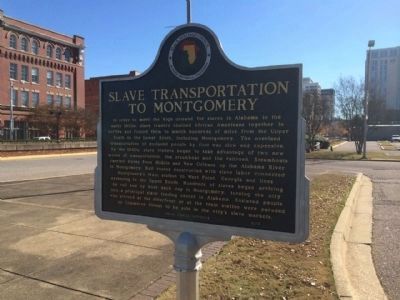
| 1 ► Alabama, Montgomery County, Montgomery — The Domestic Slave Trade / Slave Transportation to Montgomery — |
| On Commerce Street at Water Street, on the left when traveling north on Commerce Street. | |||
| 2 ► Alabama, Montgomery County, Montgomery — The Montgomery Slave Trade / Warehouses Used in the Slave Trade — |
| On Commerce Street, 0.1 miles north of Bibb Street (Alabama Route 108), on the right when traveling north. | |||
| 3 ► Alabama, Mobile County, Mobile — Old Slave Markets — |
| On St Louis Street at North Royal Street, on the right when traveling west on St Louis Street. | |||